Teneriffe Falls (Aka
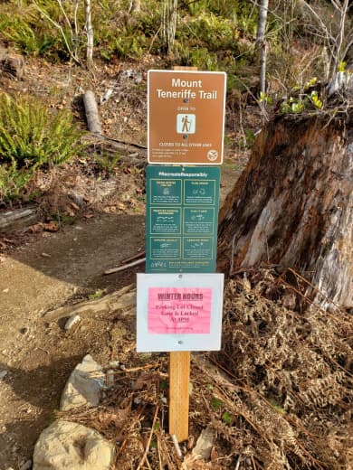
I navigated to the trailhead with Google Maps set to Teneriffe Falls trailhead. That was a mistake, since that trailhead has no parking space and connects directly to the Mount Teneriffe Trailhead. That is where I wanted to go and park.
The parking was mostly empty (weekday!), there are some toilets which I didn't check to see if they were actually open. Right at the start of the trail you could see a sign that says the parking is gate locked at 16:00.
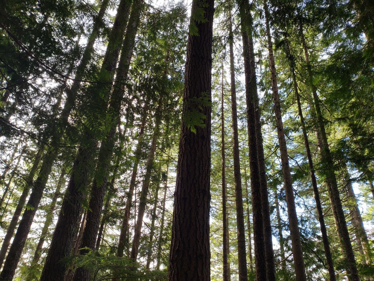
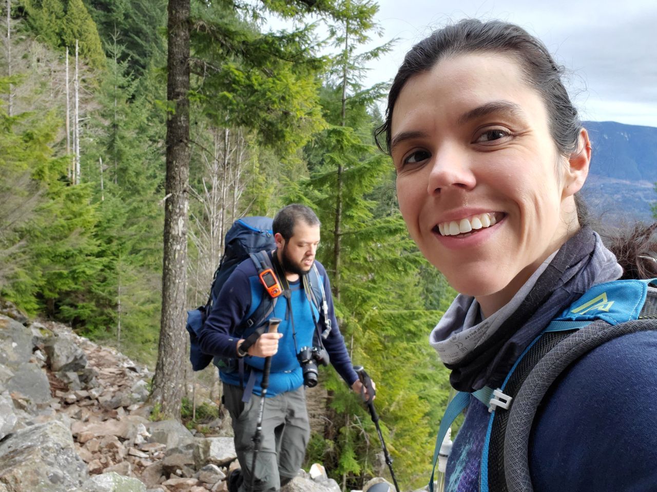
The trail was very smooth with very little rocks for the first mile or so. It felt as if you could push a stroller in there without much effort. Then you could see some roots here and there along with some rocks; It started to feel more like a normal trail than a gravel path.
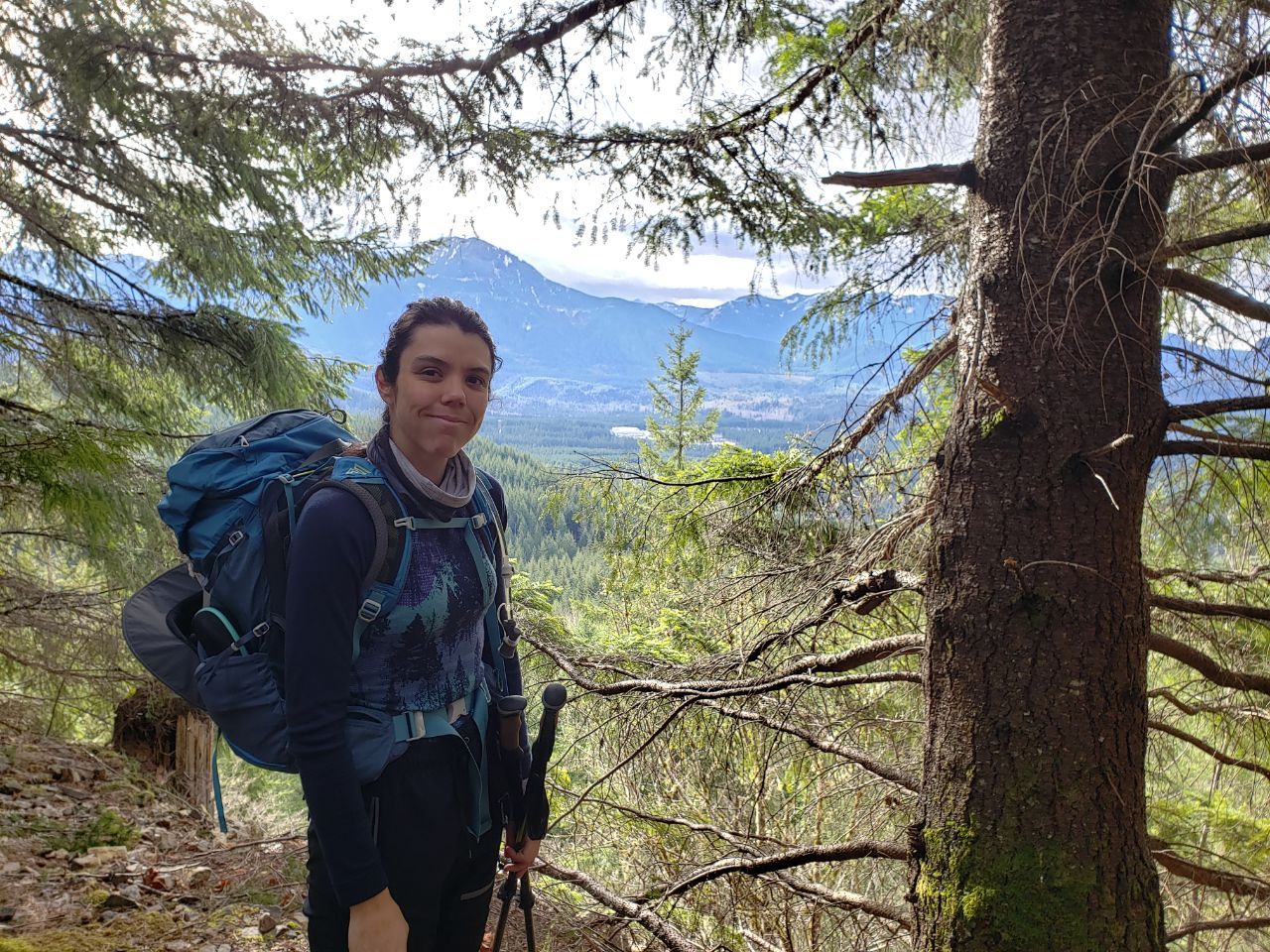
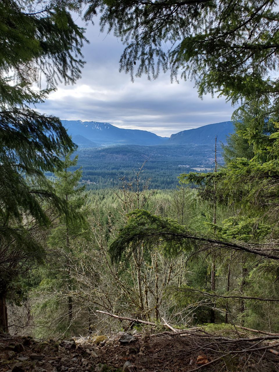
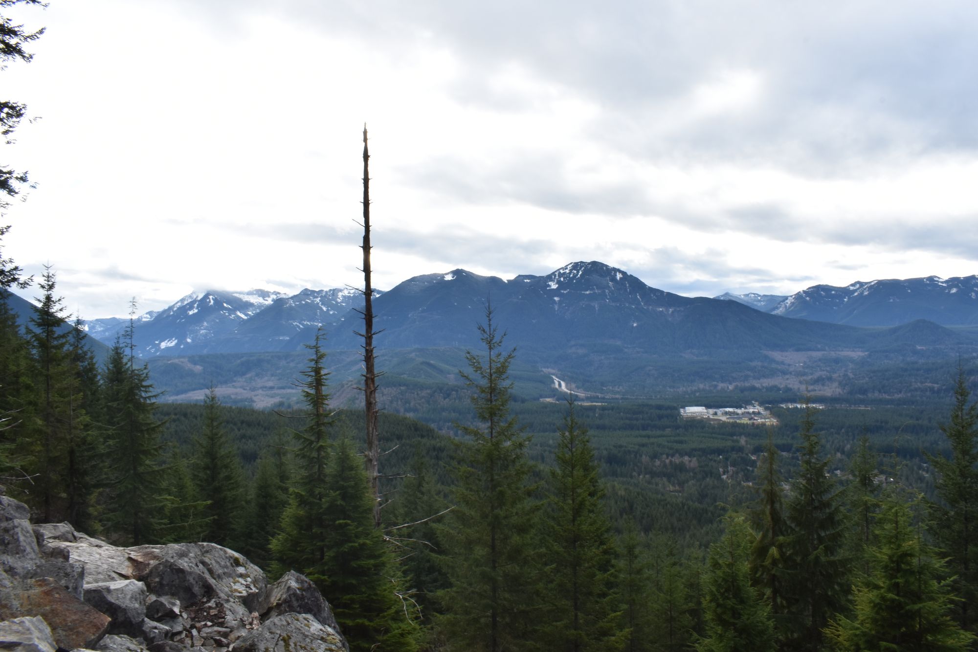
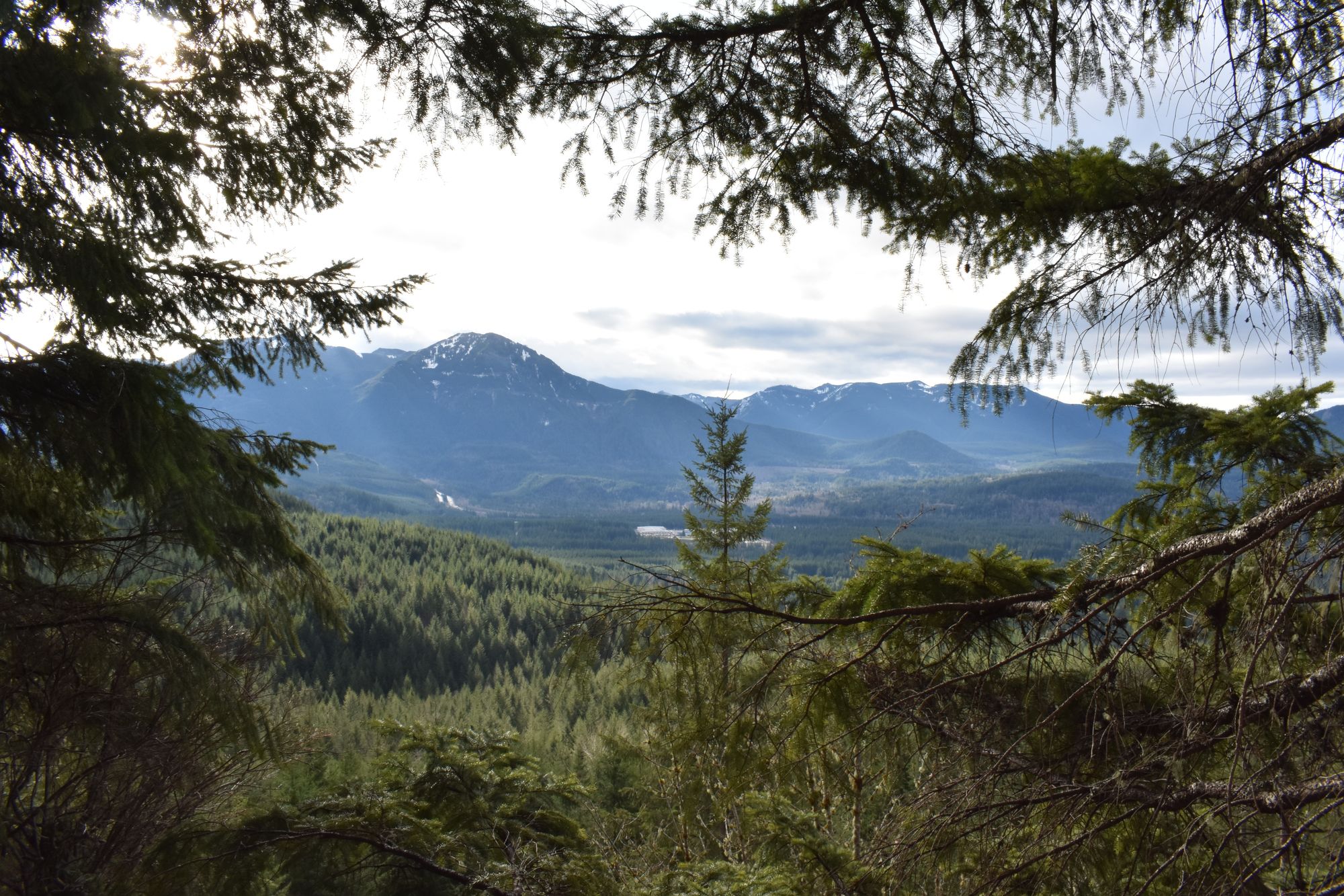
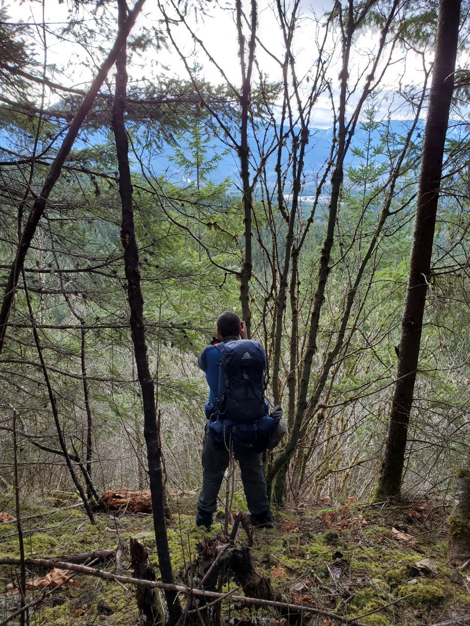
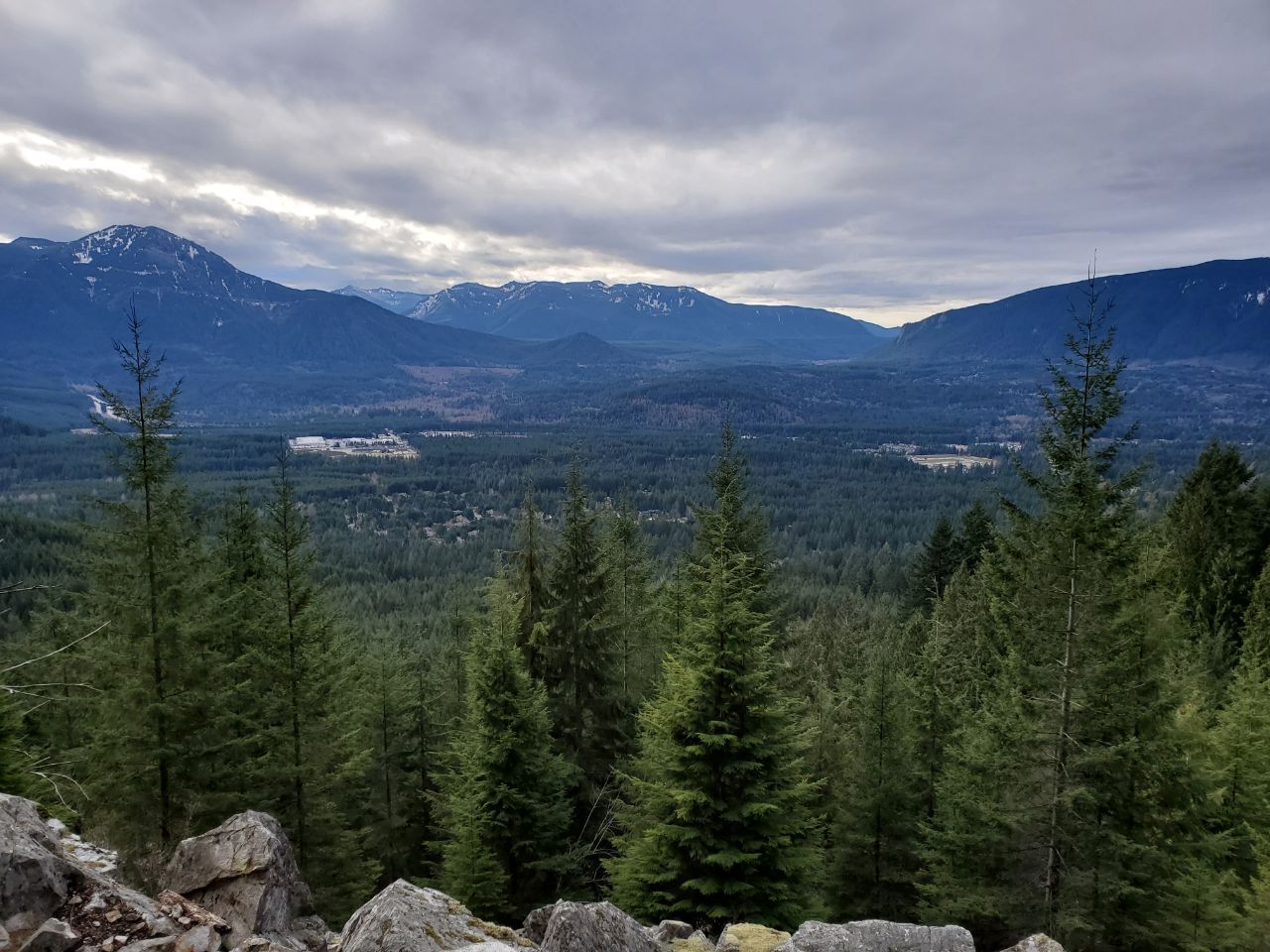
There are some nice viewpoints on the way, pretty much between 1.5 and 2 miles.

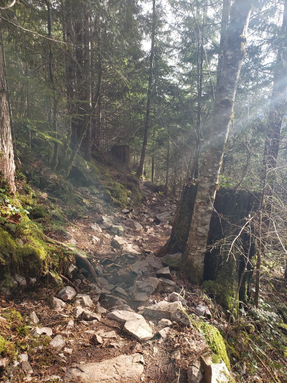
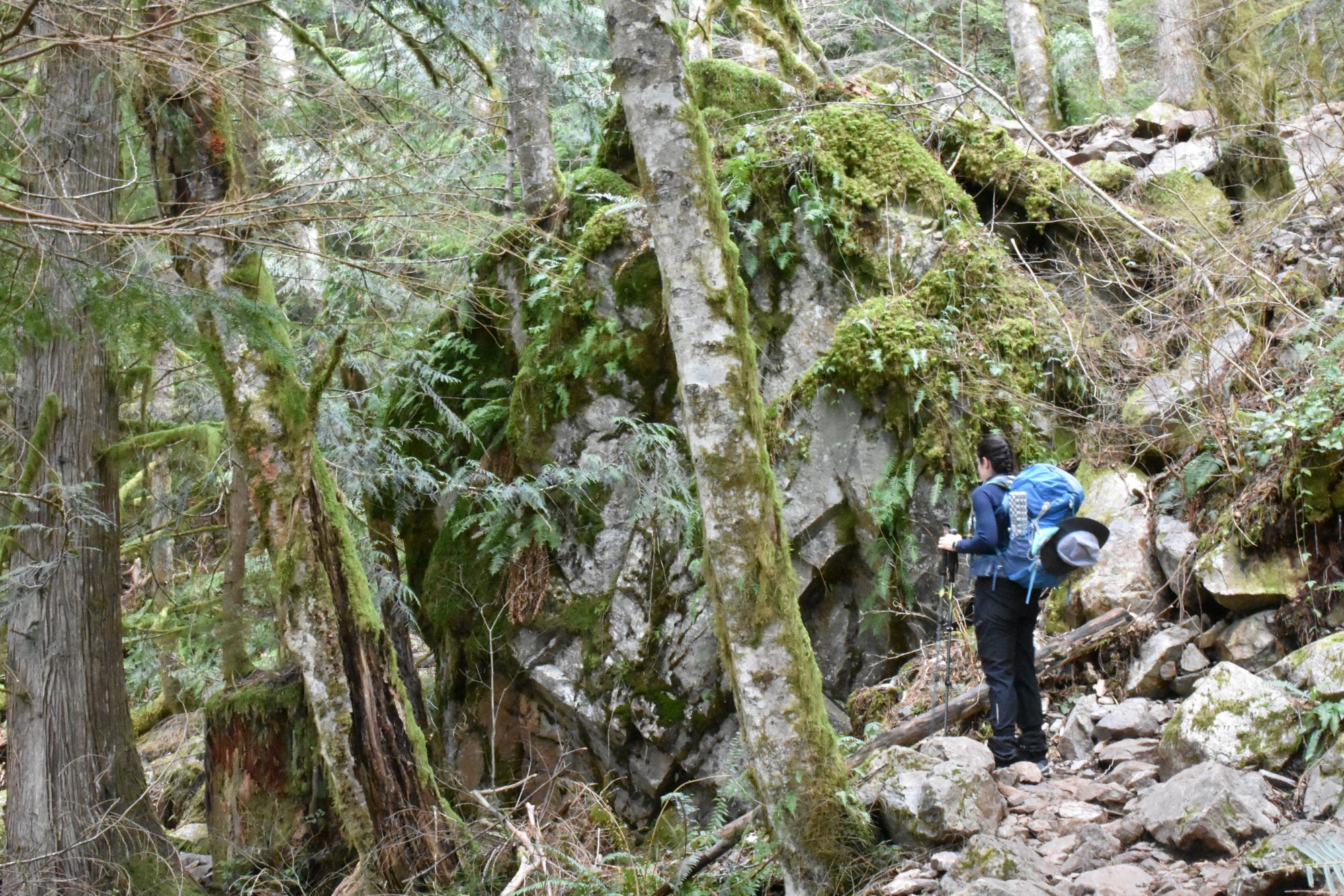
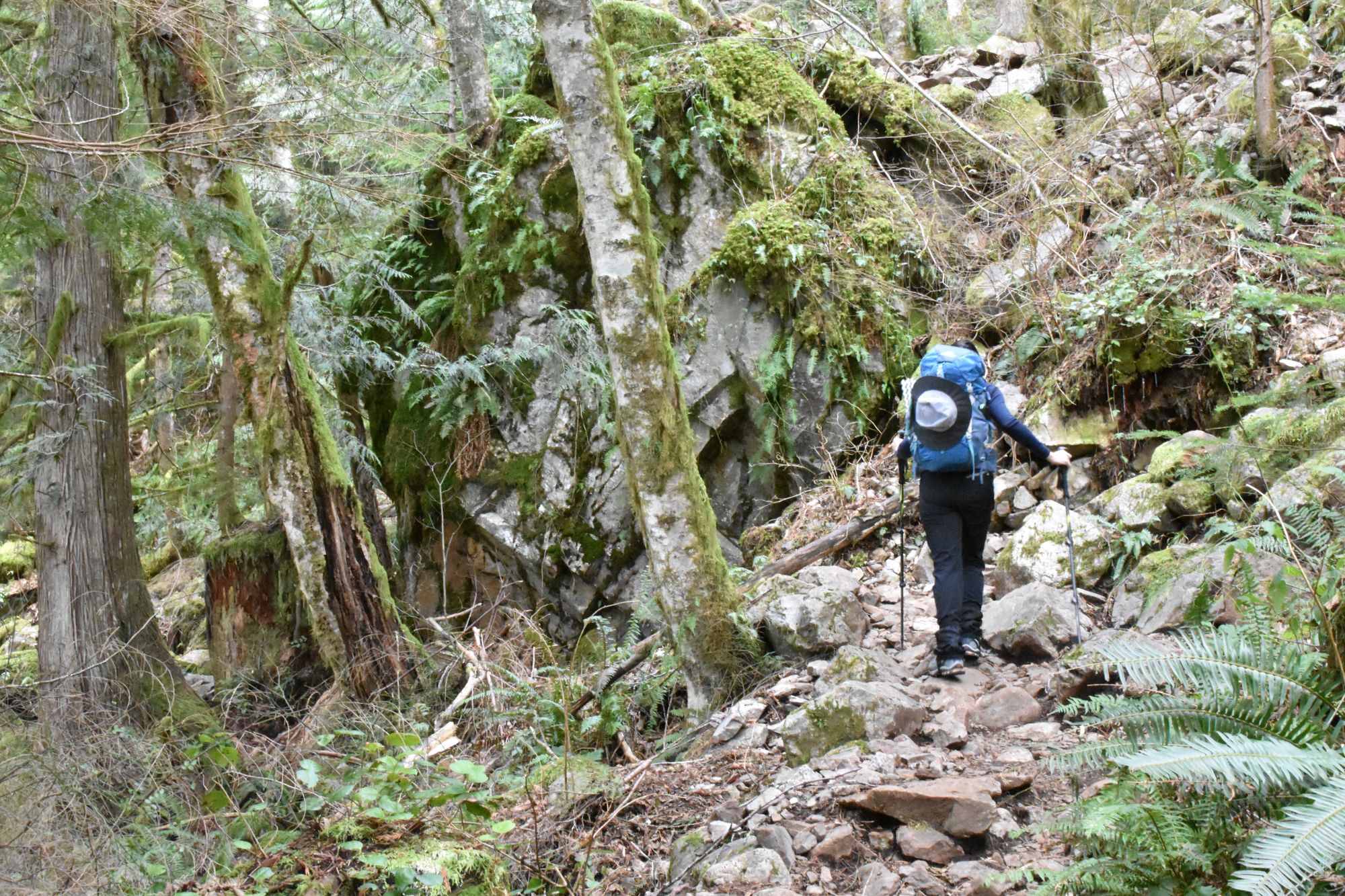
Then at mile 2 came a switch back and we could tell the trail meant business! It became a trail of mostly pure rocks/boulders with some dirt breaks here and there. It wasn't hard to navigate since it was dry/not raining and you could easily spot the dirty rocks where people stepped. Otherwise it would've been a bit harder to find our way.
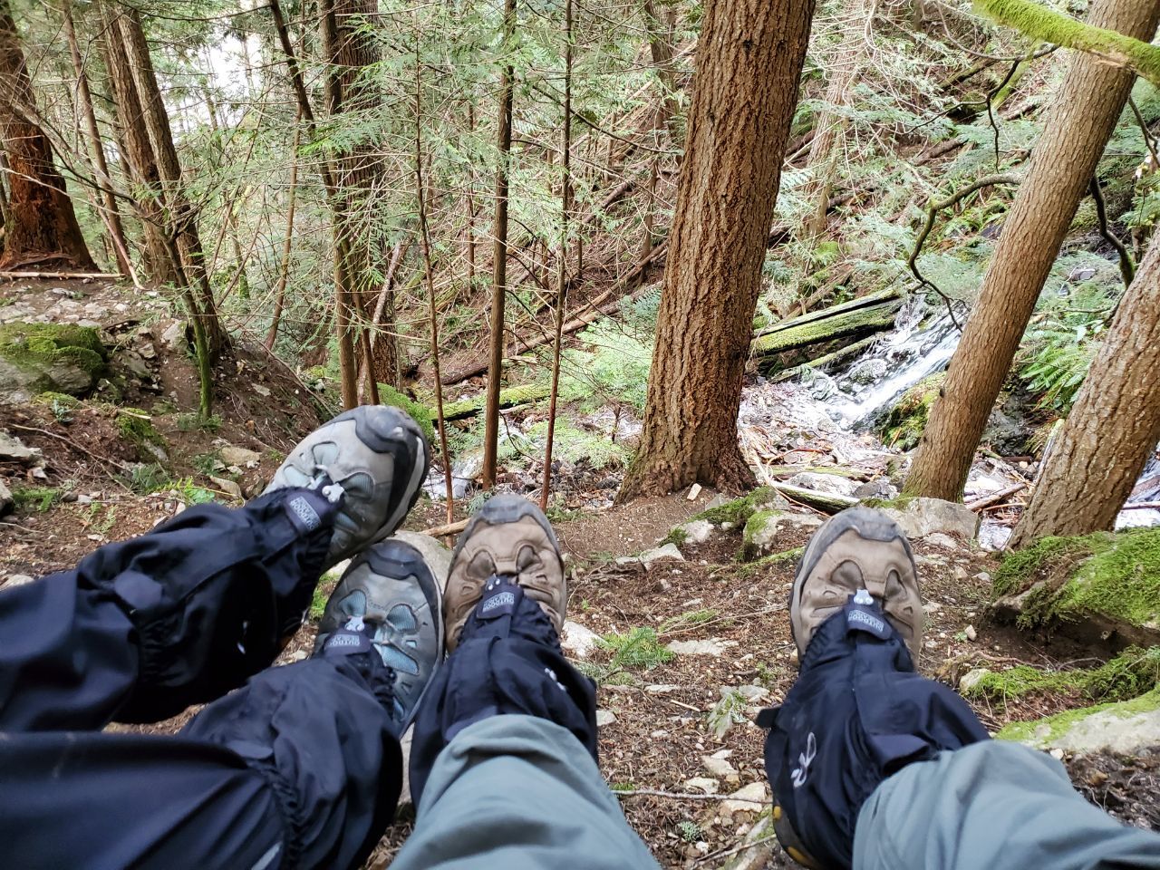
We reached some waterfalls, and I almost believed that was the place, but Karla pointed out that the trail continued, so we kept on walking.
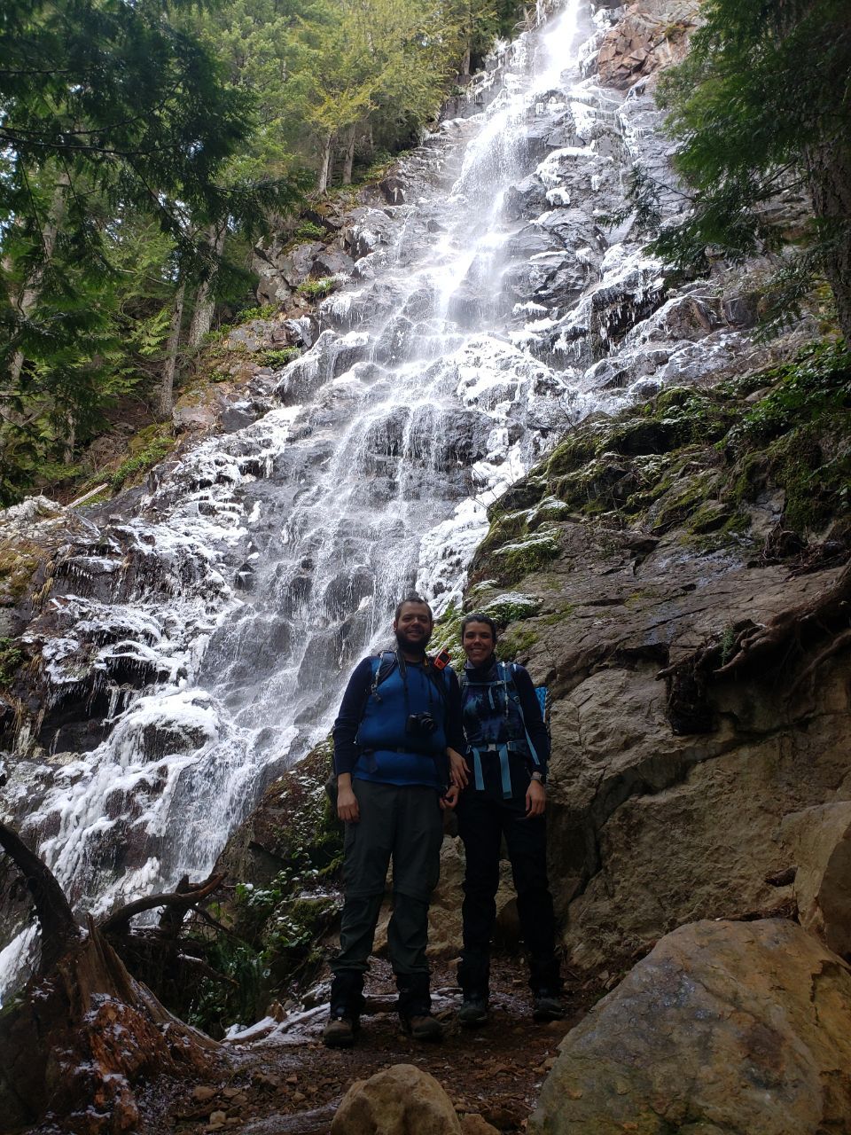
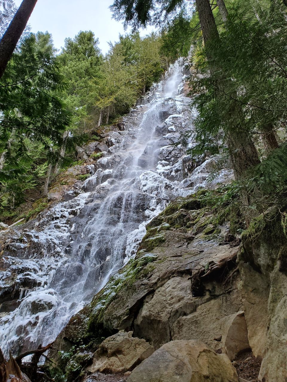
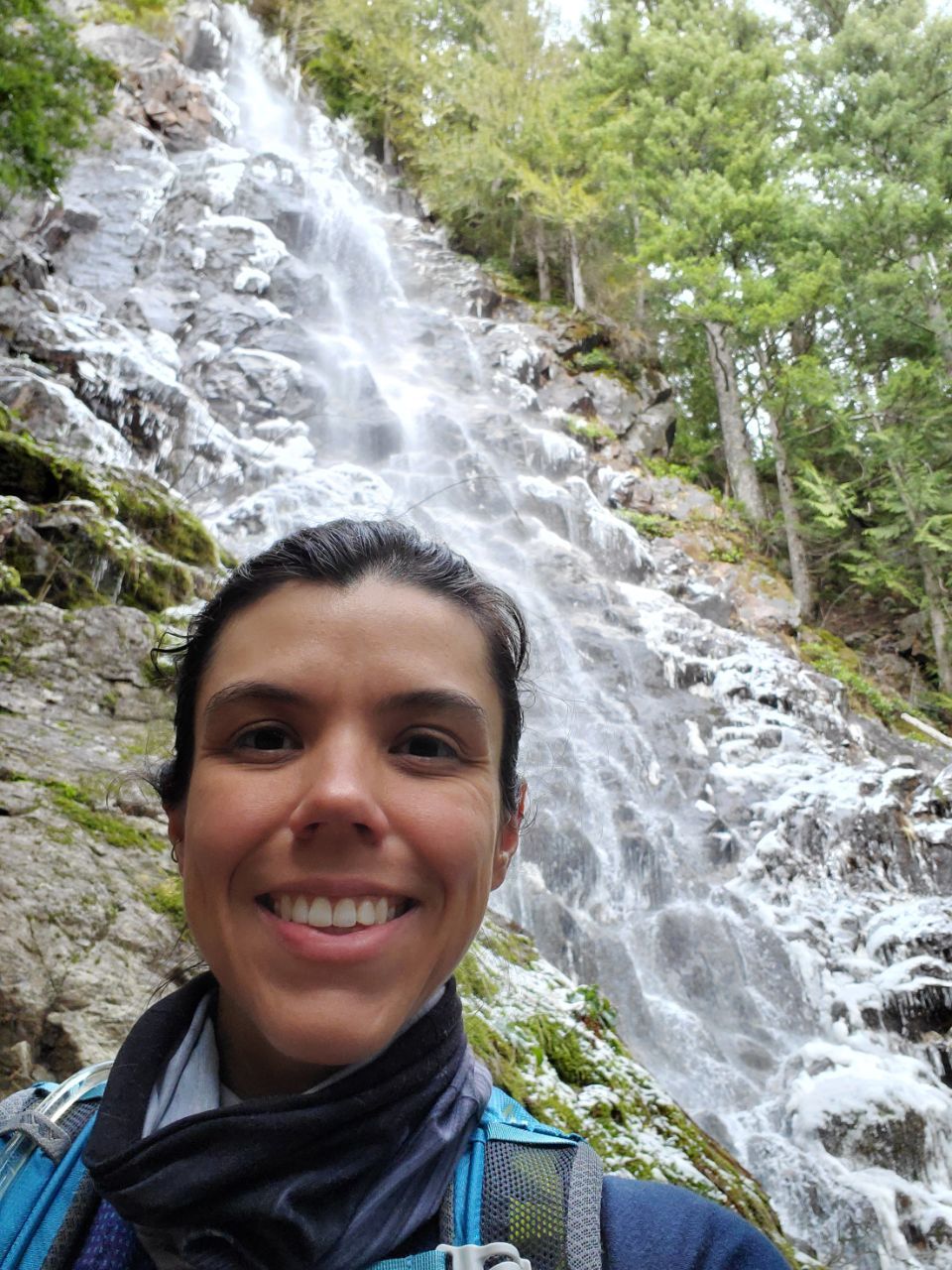
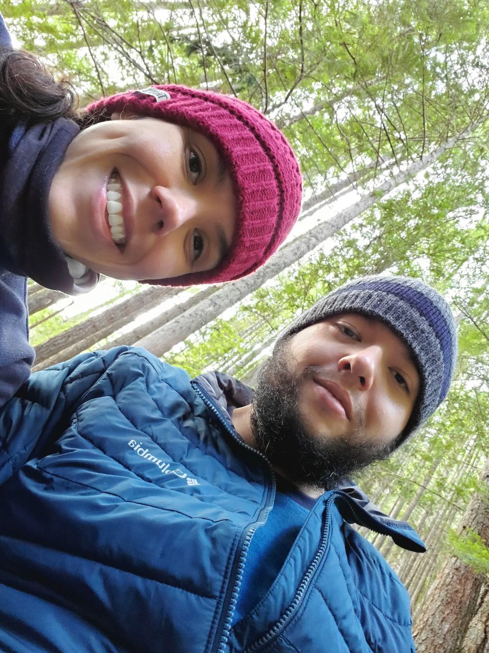
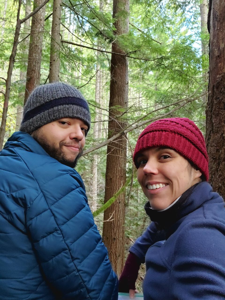
Many rocks and steps up later, we reached the falls. Beautiful falls that had running water and ice/icicles on them. We took some pictures. I underexposed mine while playing pro photographer, but luckily the smartphone ones worked great.


We headed down and had lunch at the place with the first waterfall. Mainly because some other people reached the big one and the space to stay there is small so we didn't want to hoard it.
It was cold up there, there as a very slight dusting of snow, but with the humidity of the falls, and some snowflakes coming down from the falls too it felt quite chilly. Brr
The plan was to go down and head back following the Teneriffe Falls Connector to the Mount Teneriffe Trail and then back.
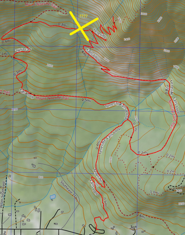
We crossed the creek and reached a hill where we thought we could see the trail, the a vast view of nothing ensued. We decided to came back on the same way we came, crossed the creek back and after getting disoriented a little bit (and having my anxiety scream at me) I found the trail and proceeded to walk down.
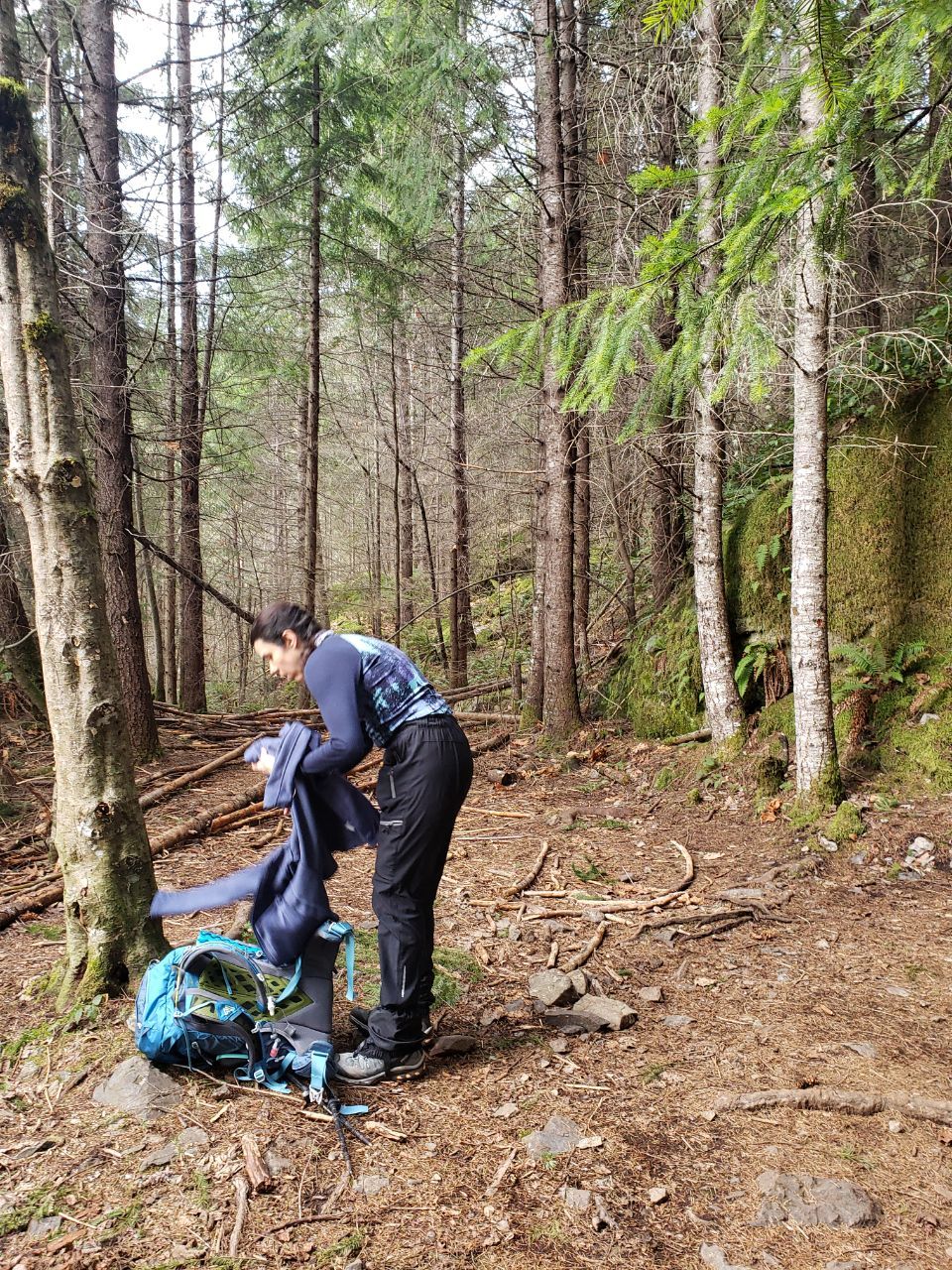
Right after passing the last switchback with rocks, we de-layered. The temperature felt quite different from up on the falls!
Close to the trailhead, past the fork with the Teneriffe Falls Trail we both thought the trail seemed beautiful, and neither of us could recall walking there. It sure seems different walking in the other direction. Both our phones Gaia apps said we were on the right track, so there was that. I just found that quite interesting.

The apps and my watch said that we walked between 5.75 and 6.2 miles.