Navaho Pass + Peak
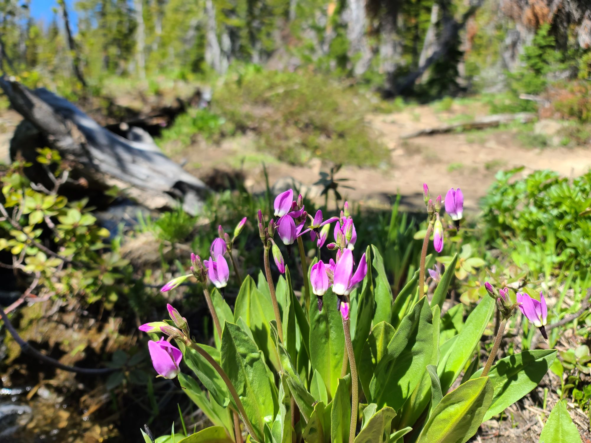
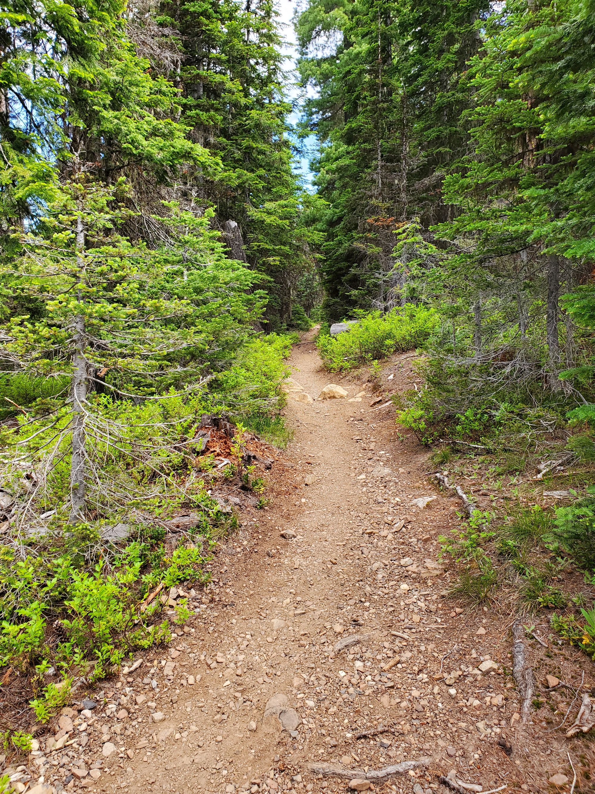
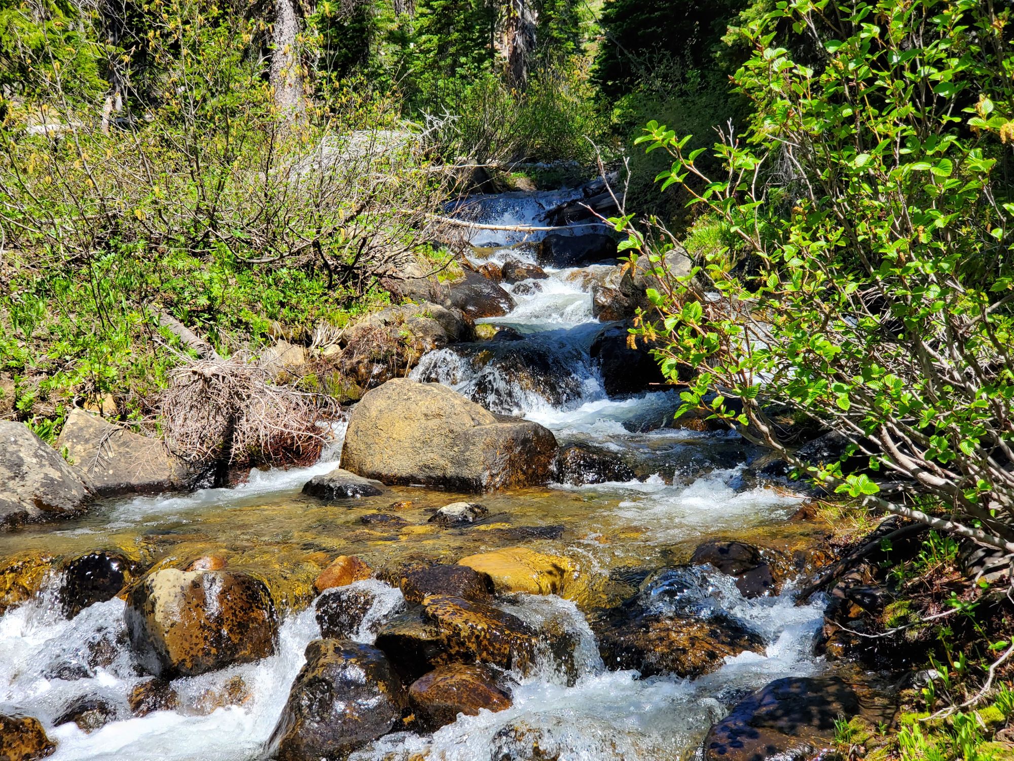
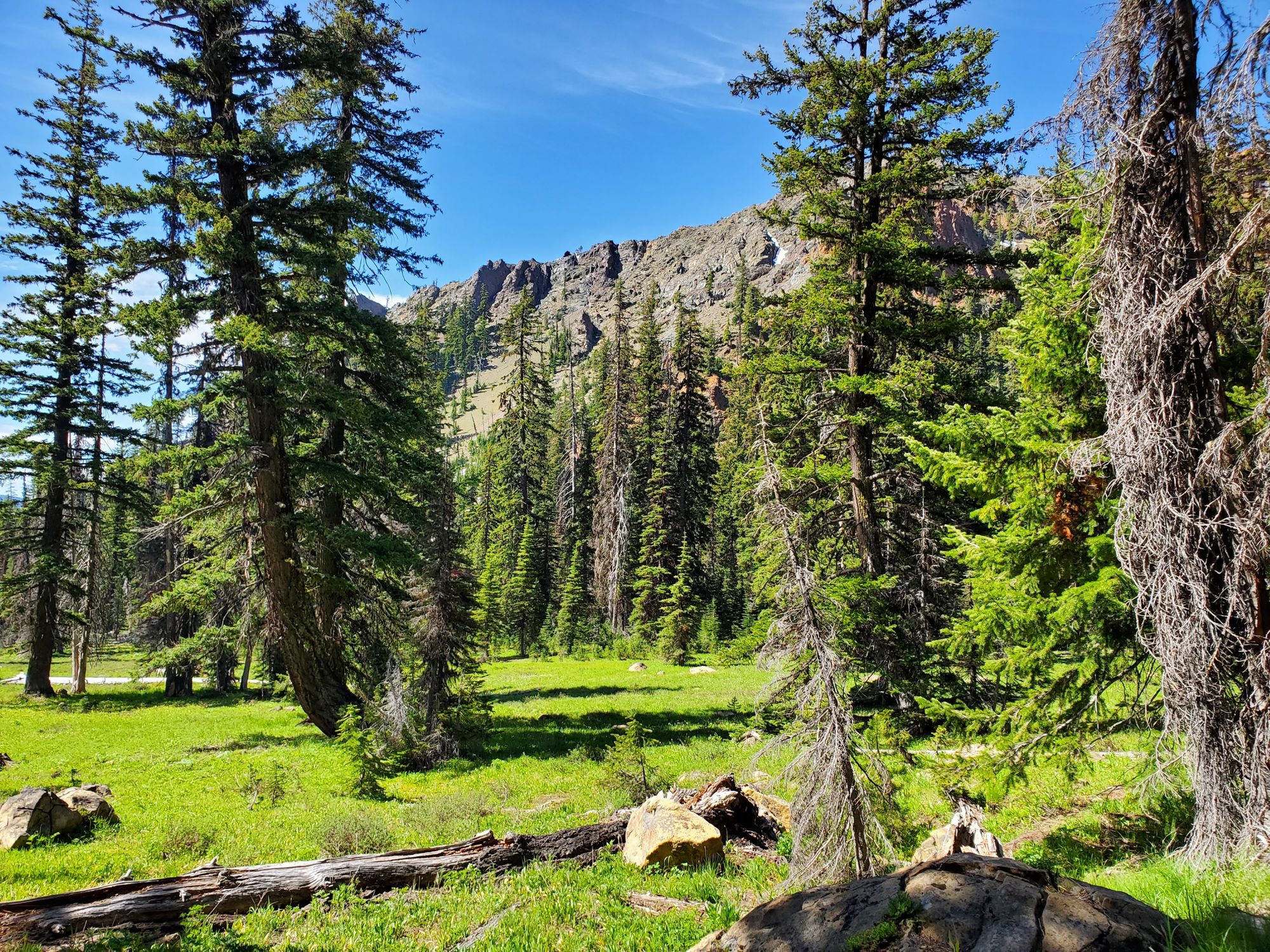
It was a clear, sunny day. The trail is in great condition and it's mostly dry with only some muddy sections. The snow is mostly gone and we found some very small patches at the meadow.
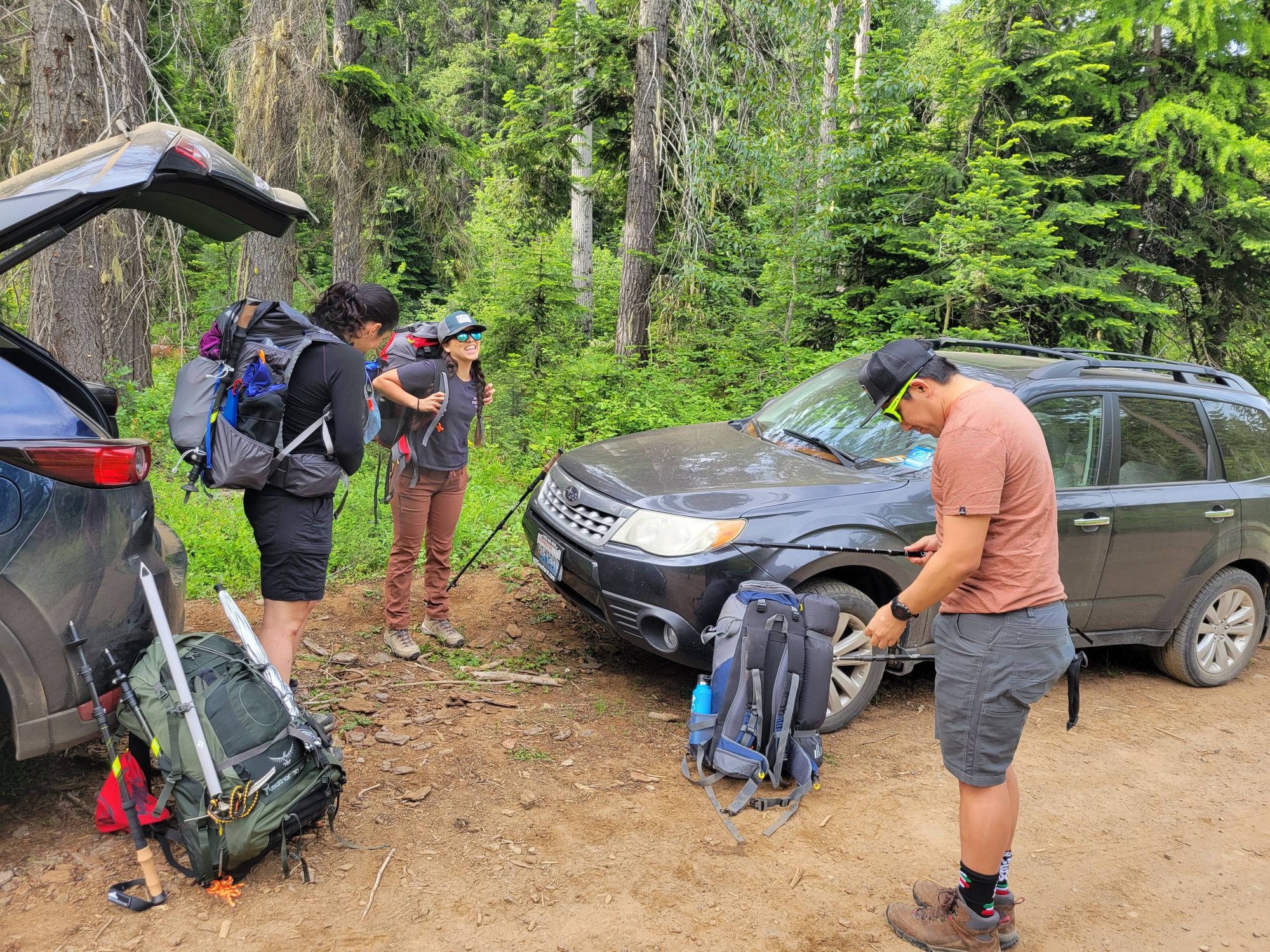
We made about 2:40 from the car to the meadow, which was pretty nice considering that the last trip our group made 4 hours.
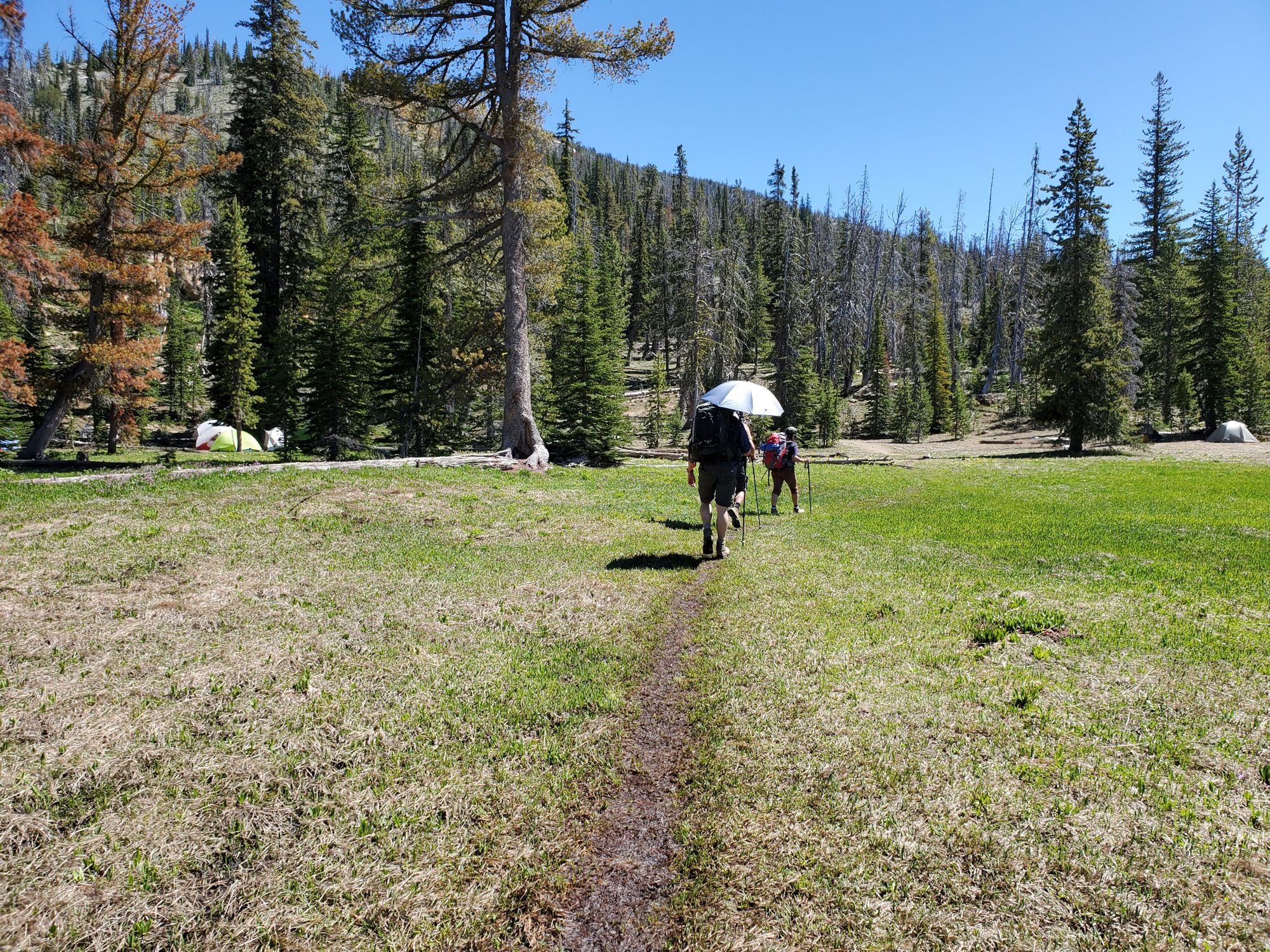
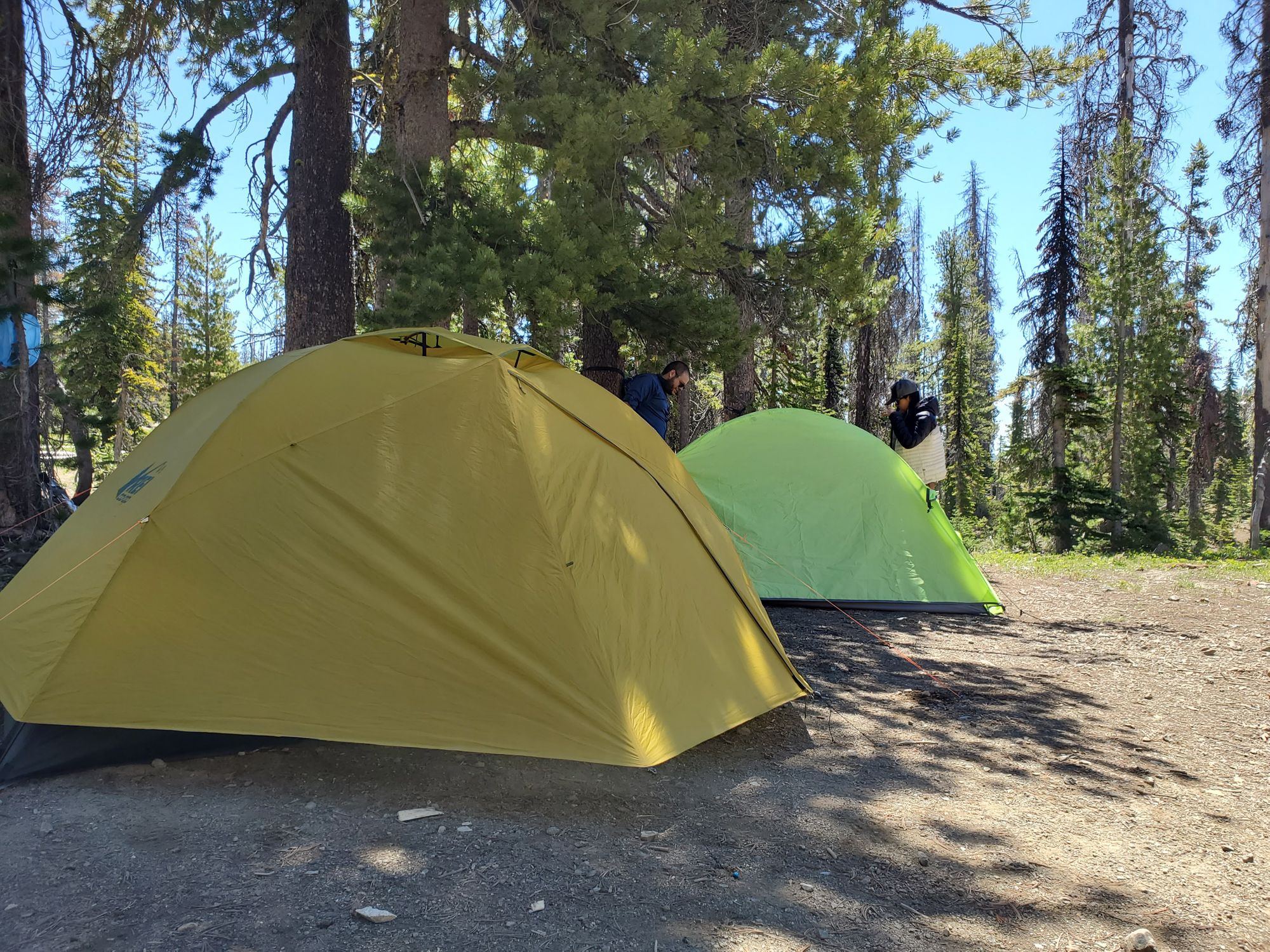
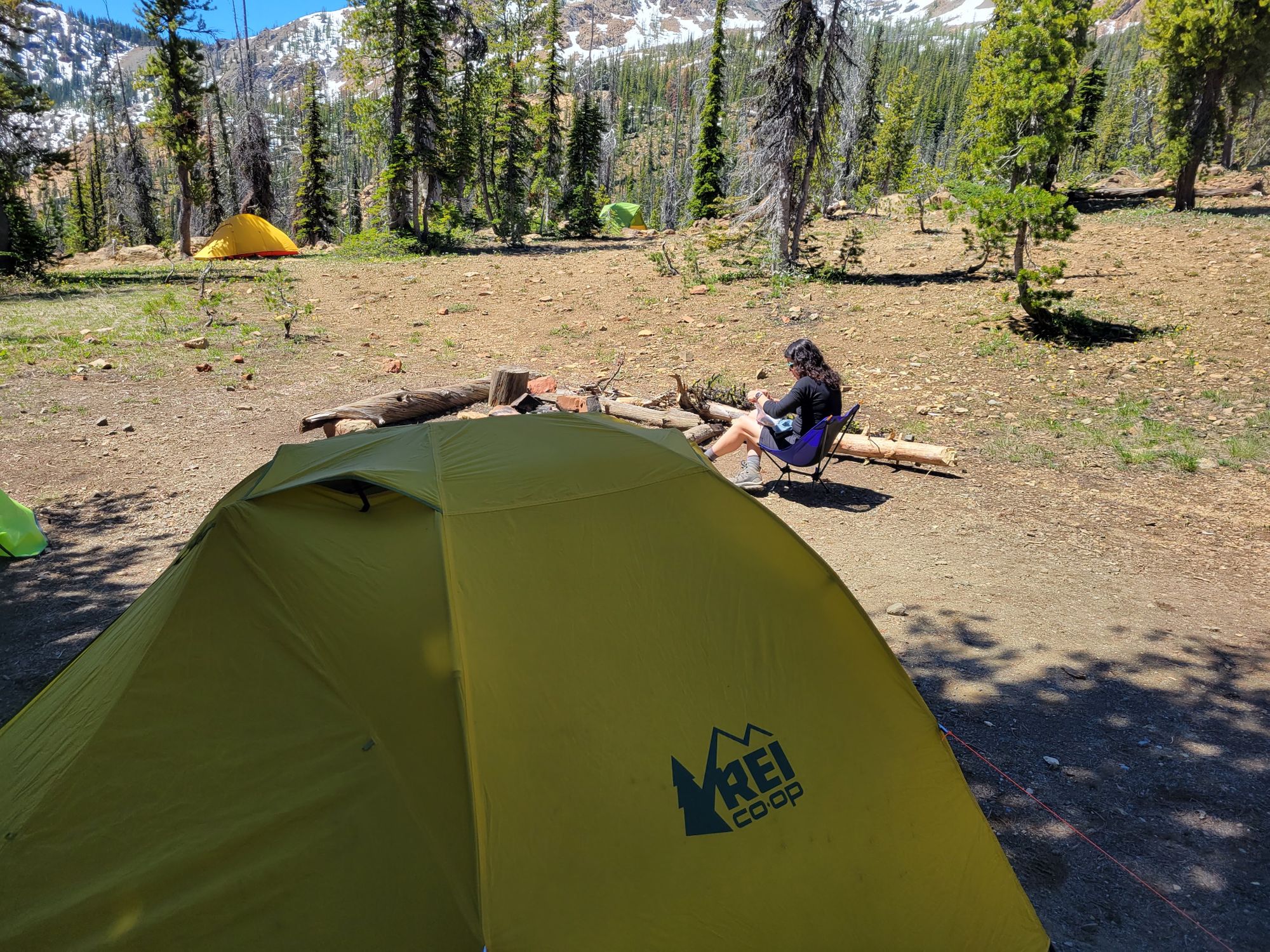
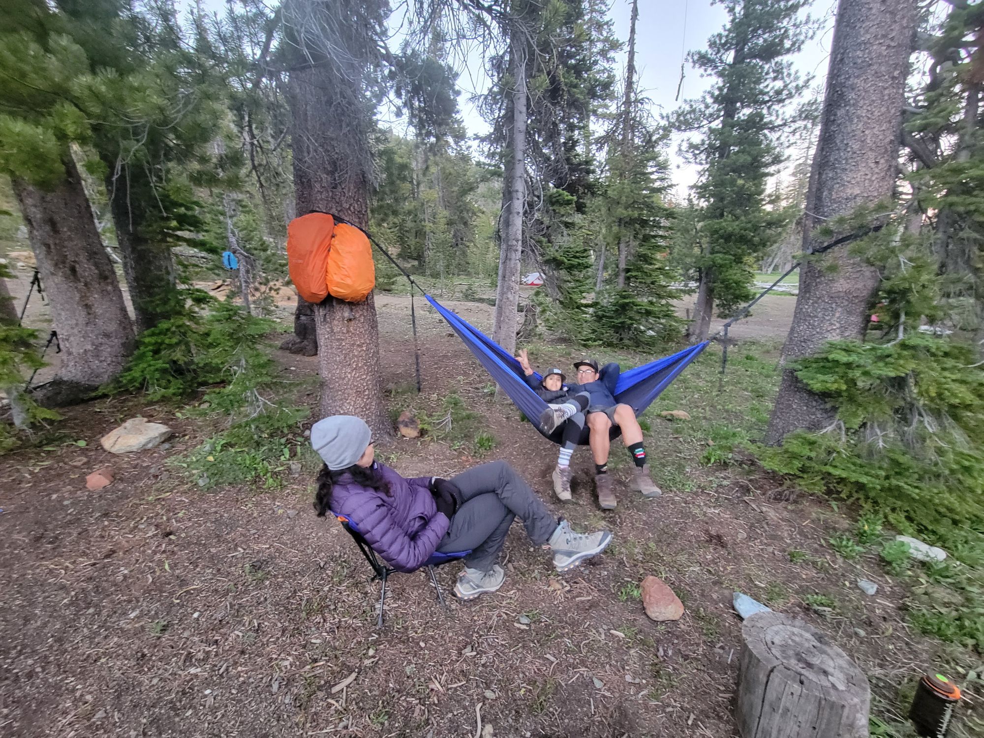
We found some nice spots to set up our tent, what we didn't count on was that the shade would only last while we would be gone...

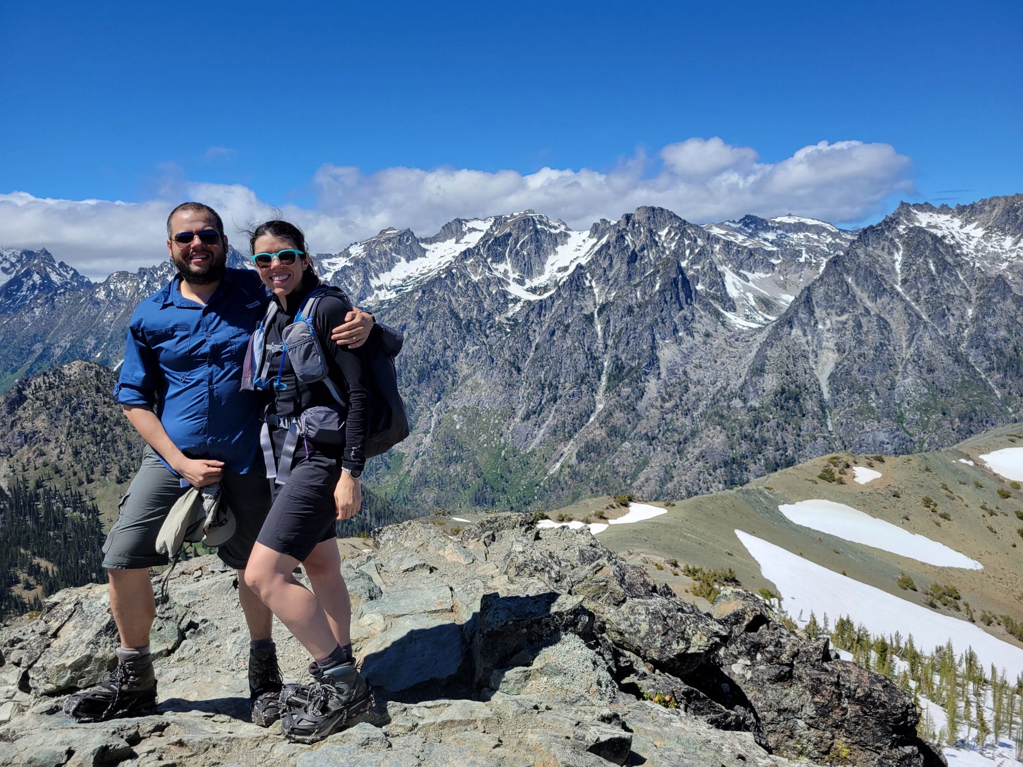
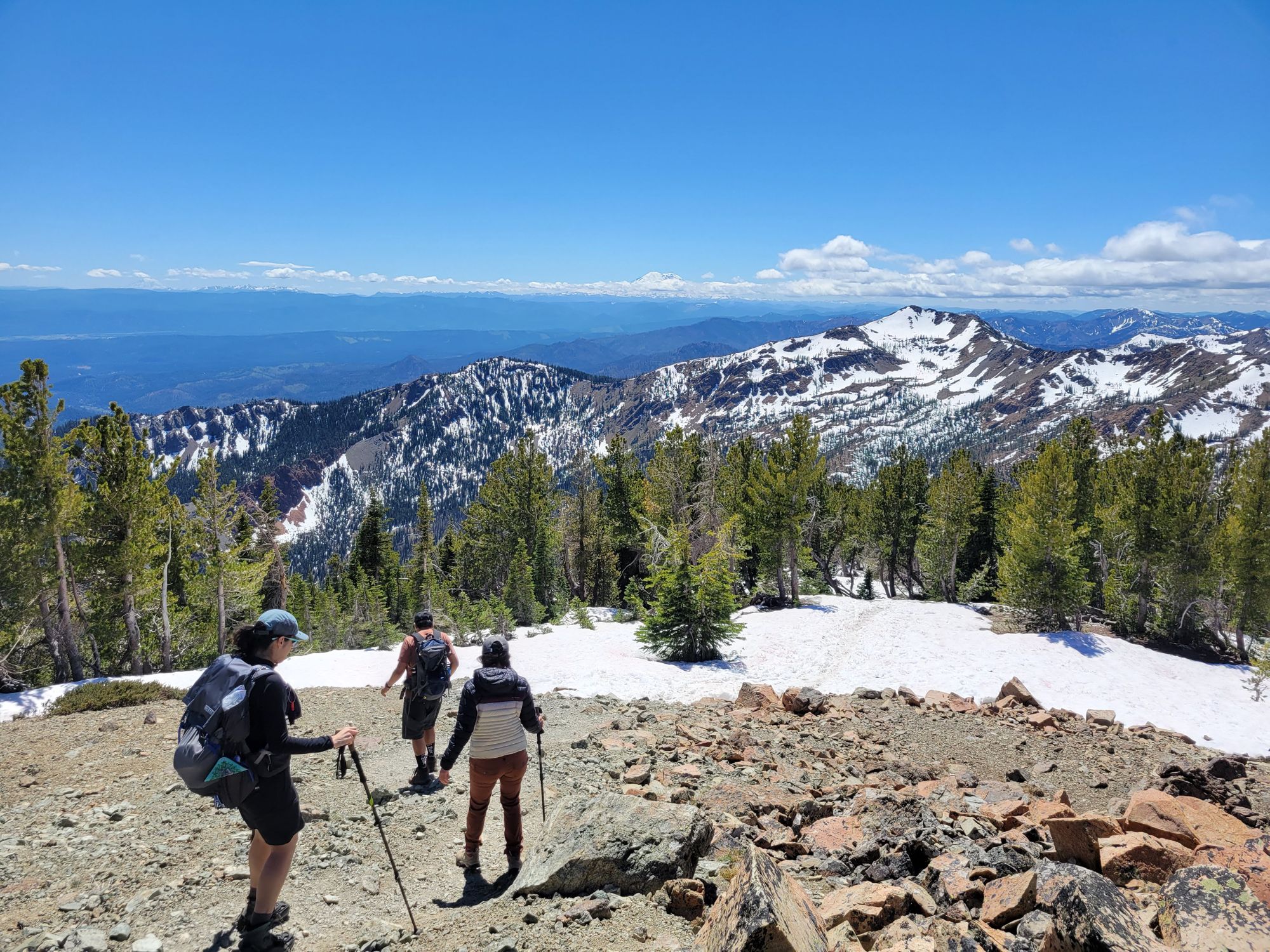
We had some lunch and decided to head for the peak, with the mandatory stop at the pass. We awed at the mighty Stuart Range
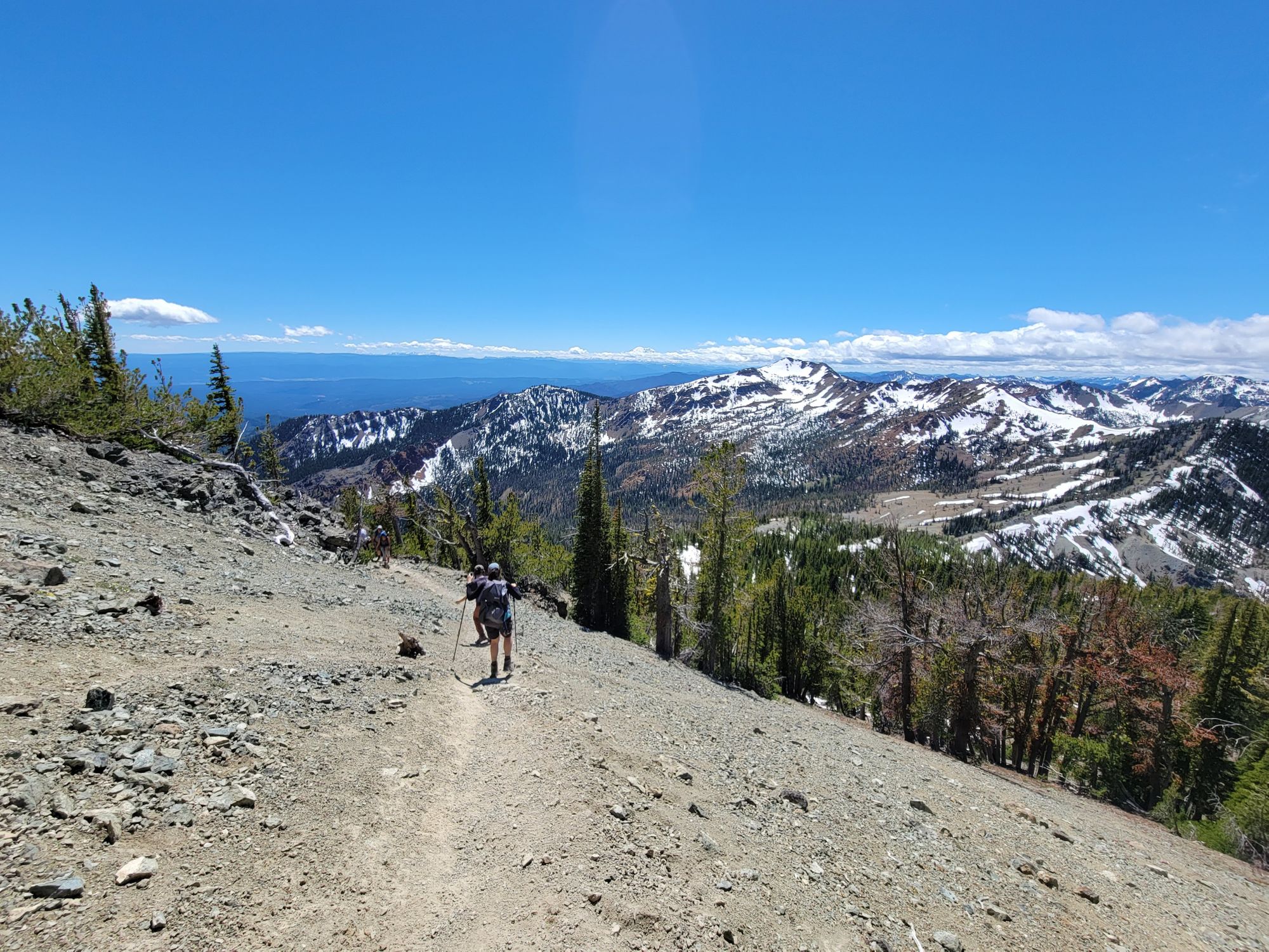
After that we headed to the peak. The ascent is a very step hike. I can see why this might be a scramble if snow covered. I brought my axe thinking that I would attempt the summit by myself but it was not necessary. Actually it was counter-productive as it got stuck under a fallen tree and made me fall; I got a deep cut in my elbow, which Karla very professionally took care of.
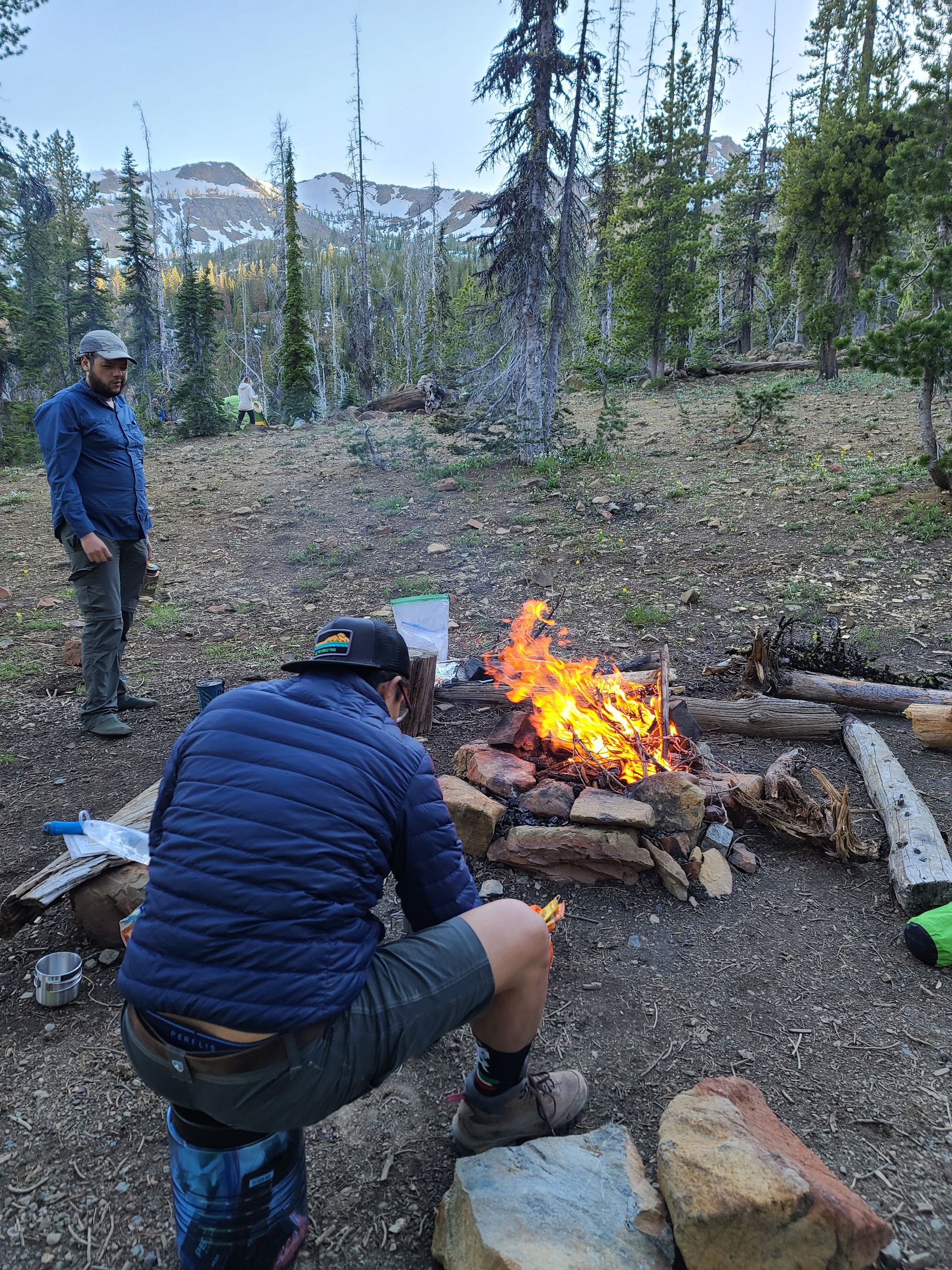
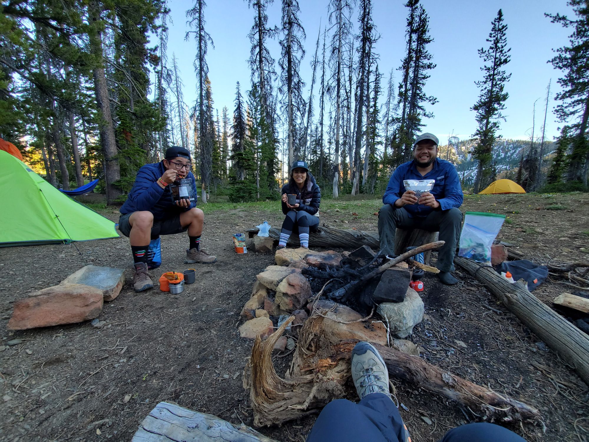
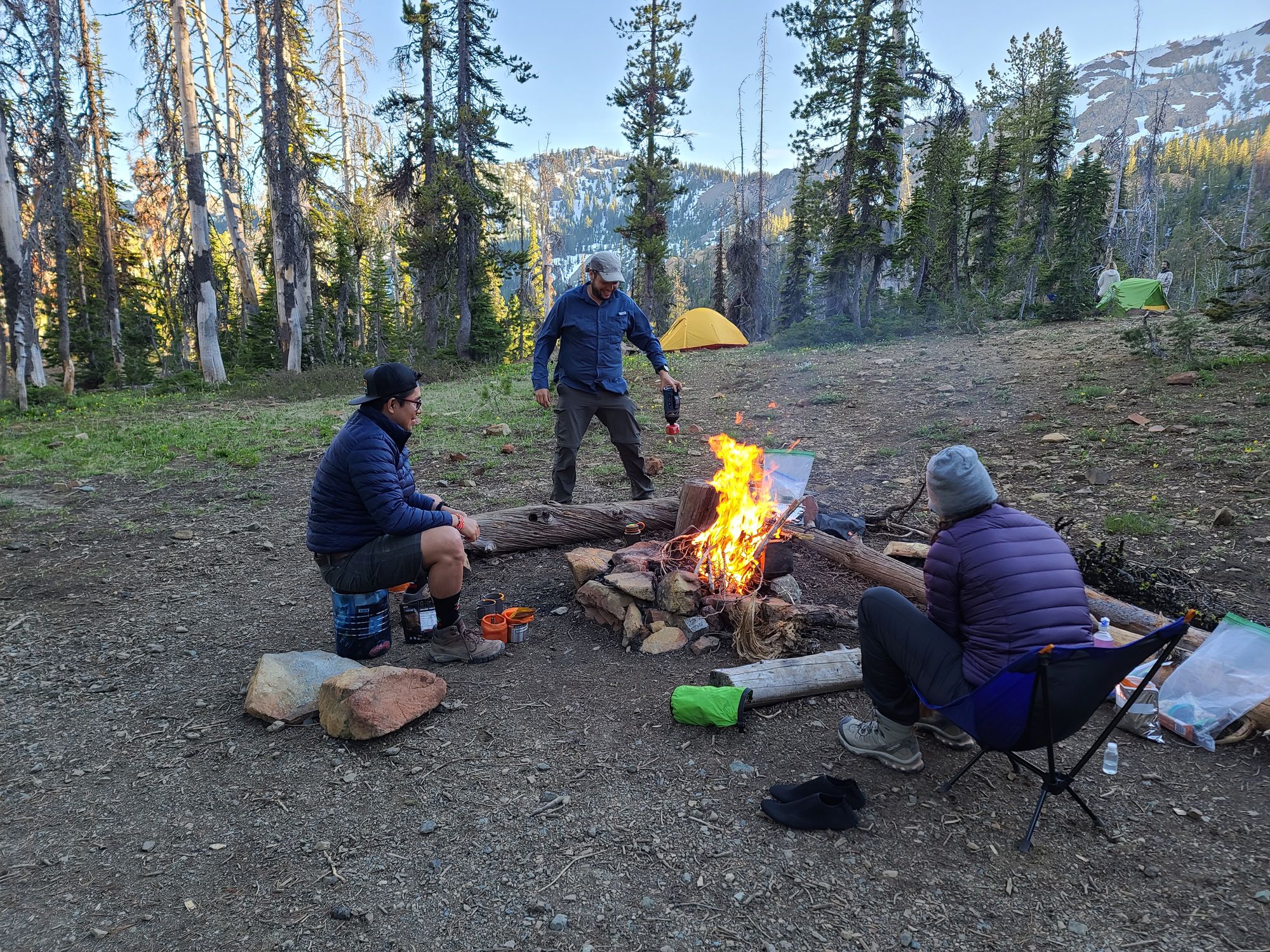
Back at the camp we shared some good stories, dinner and made a campfire. We were told there was a fire ban, so we put it out. There wasn't any...
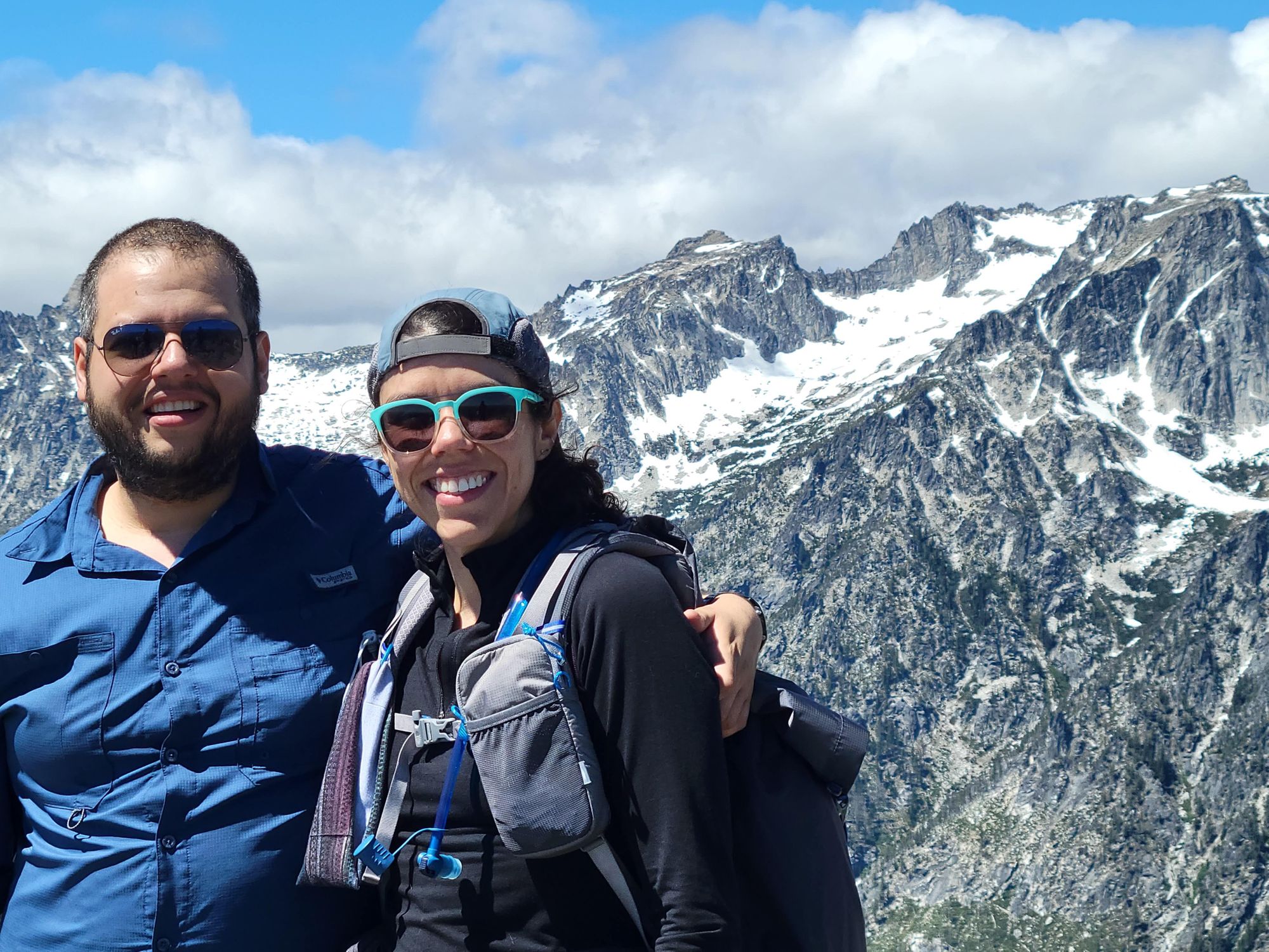
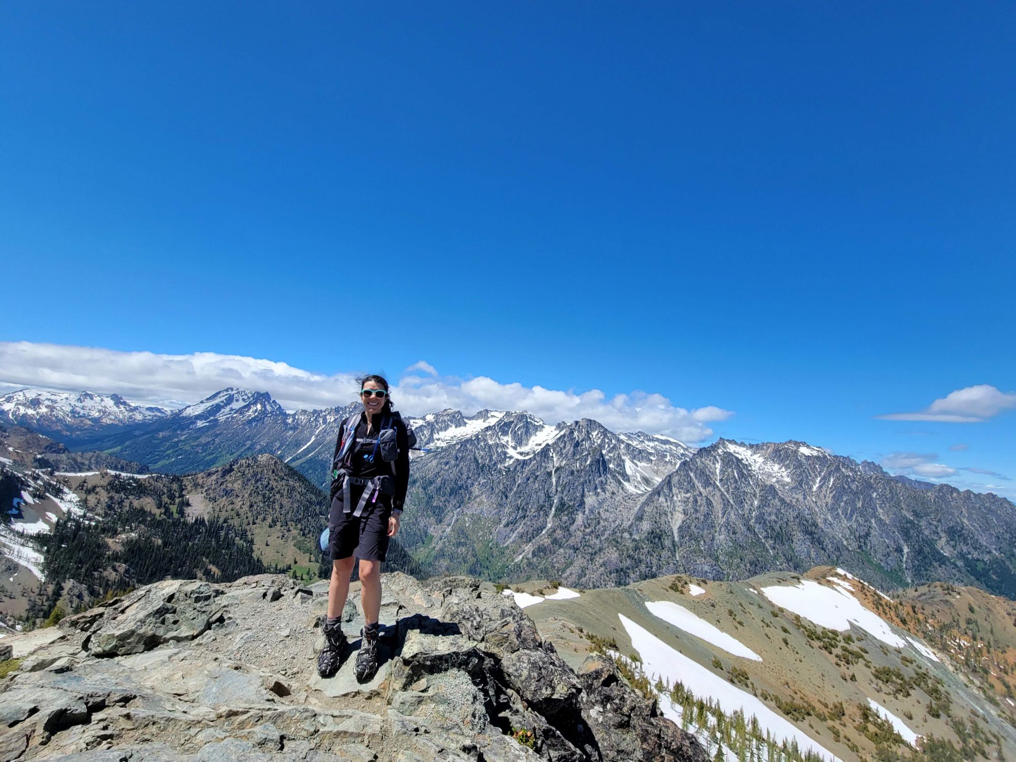
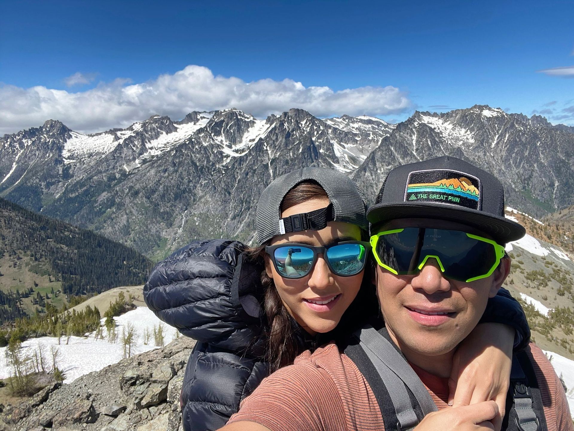
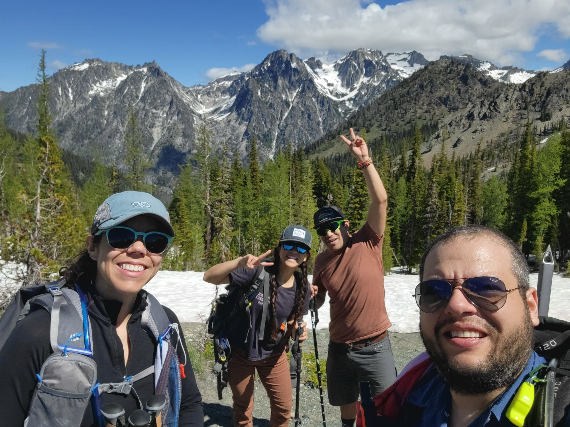
Summit photos: