Guye Peak

Snowy scramble up Guye Peak's north route.
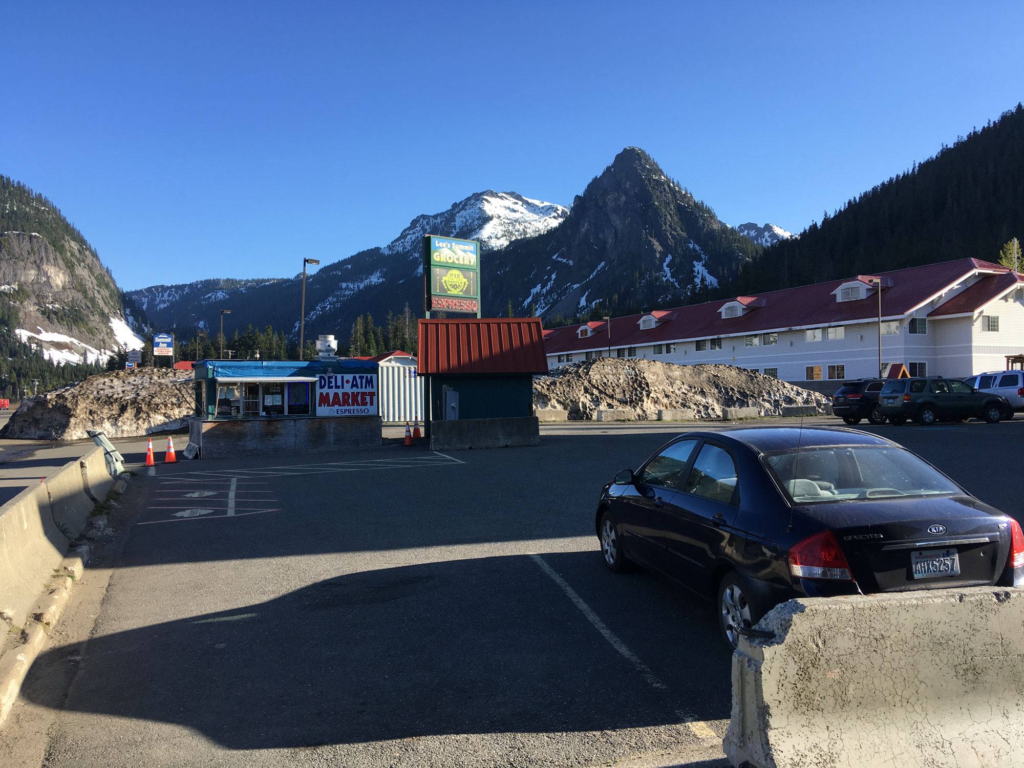
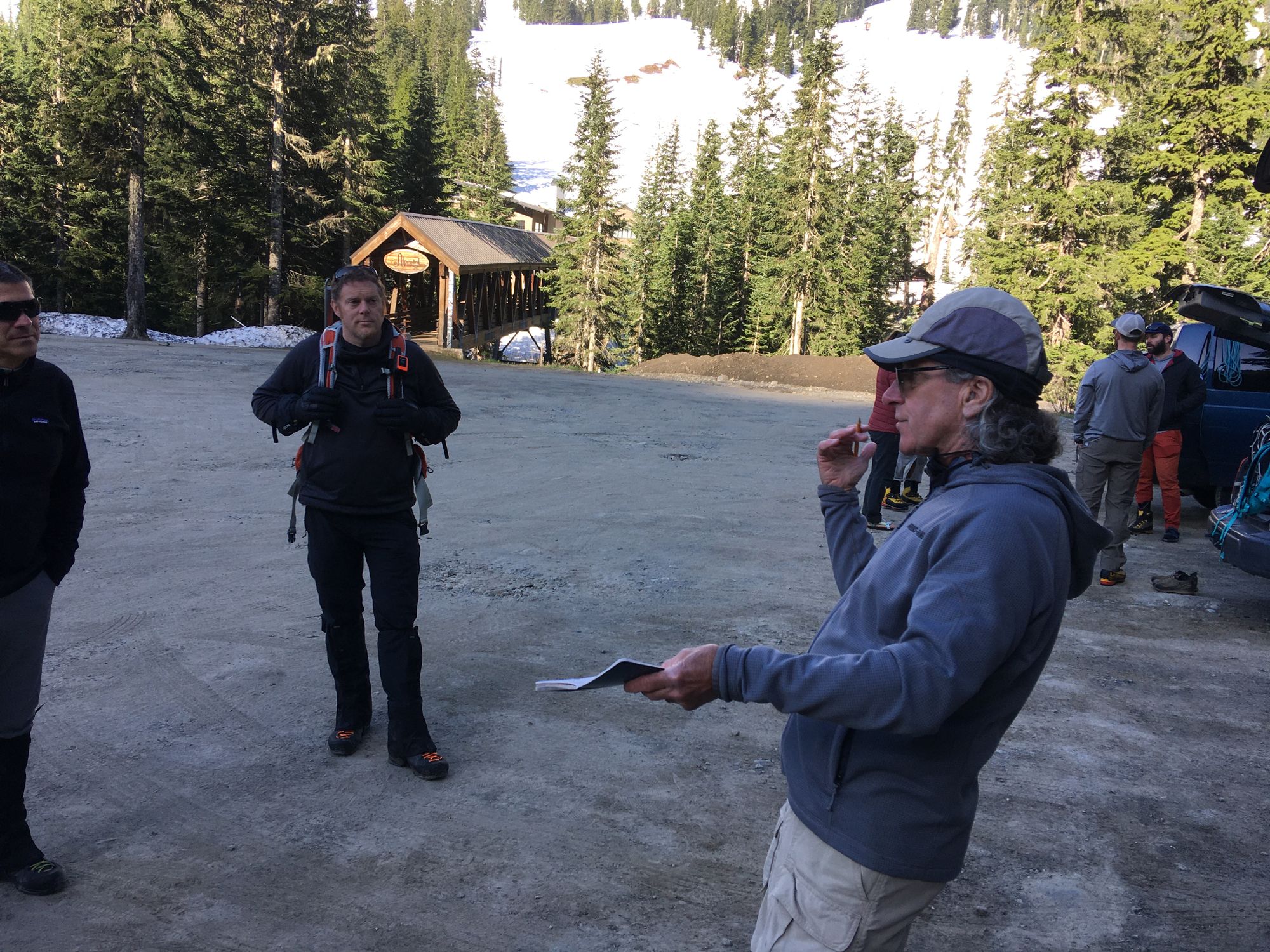
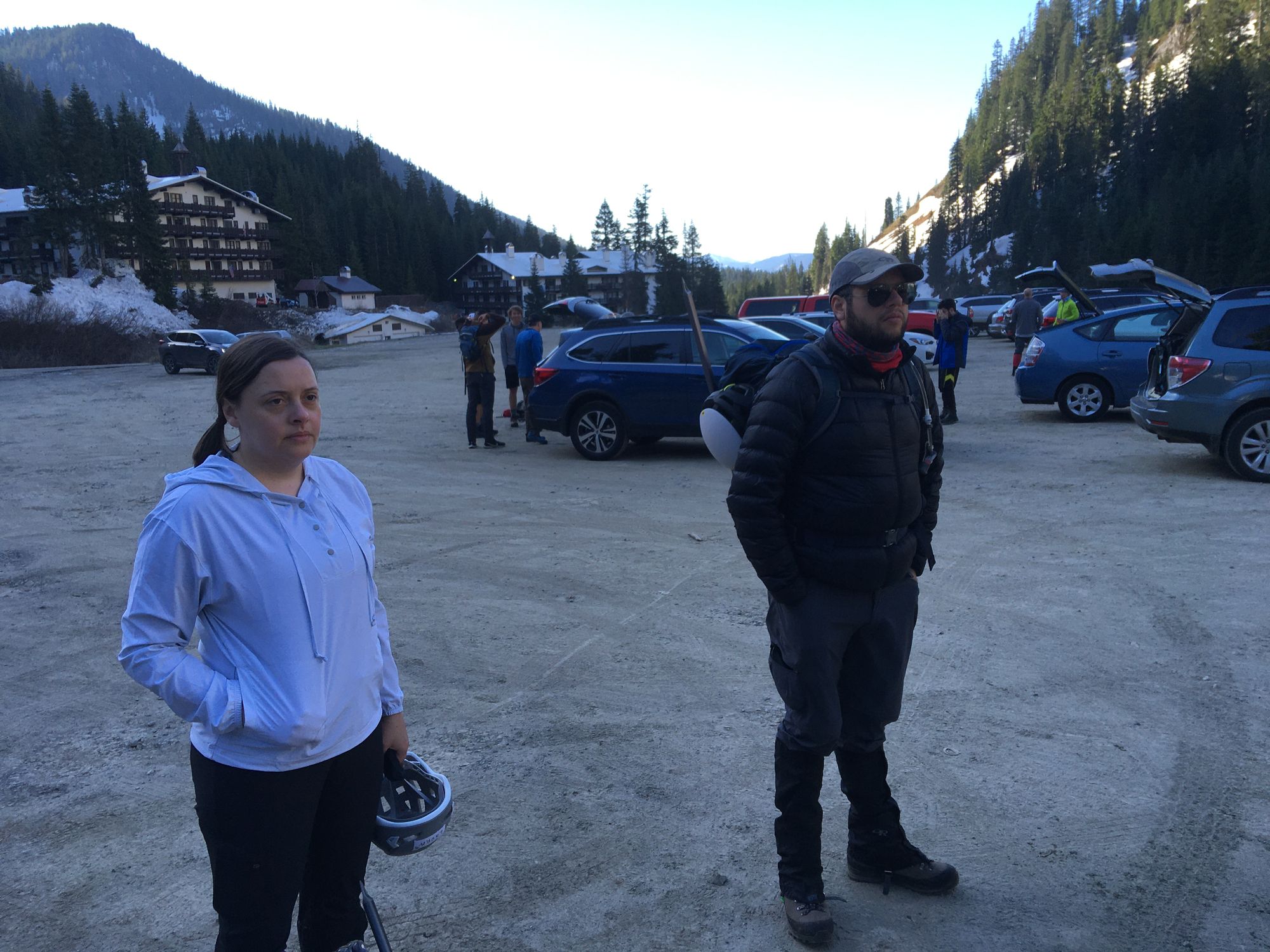
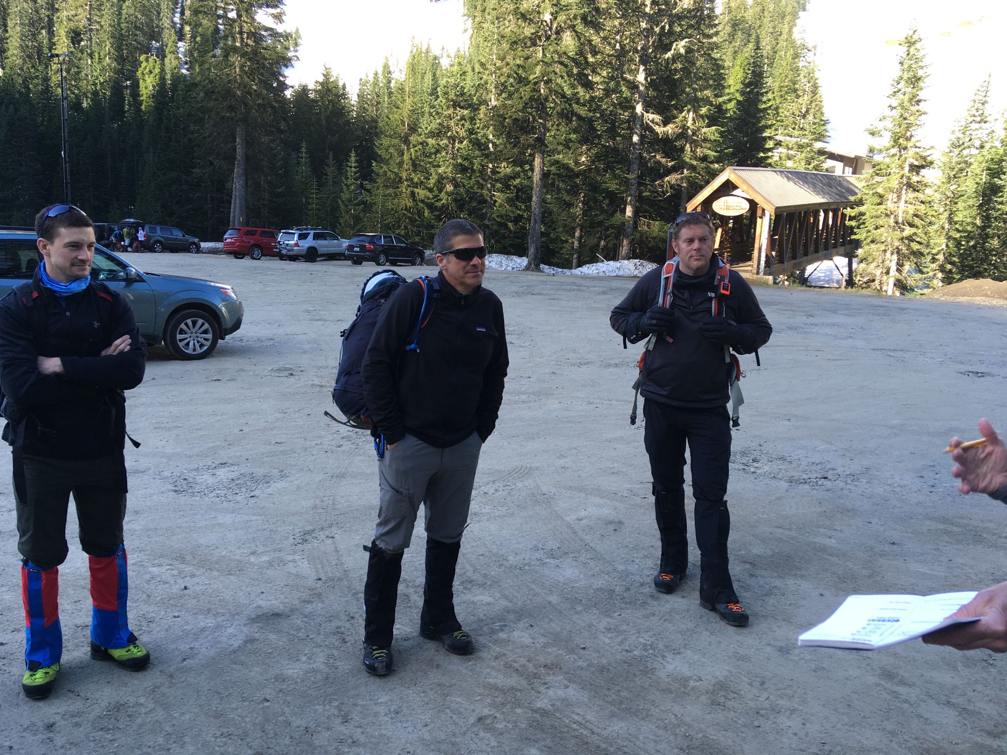
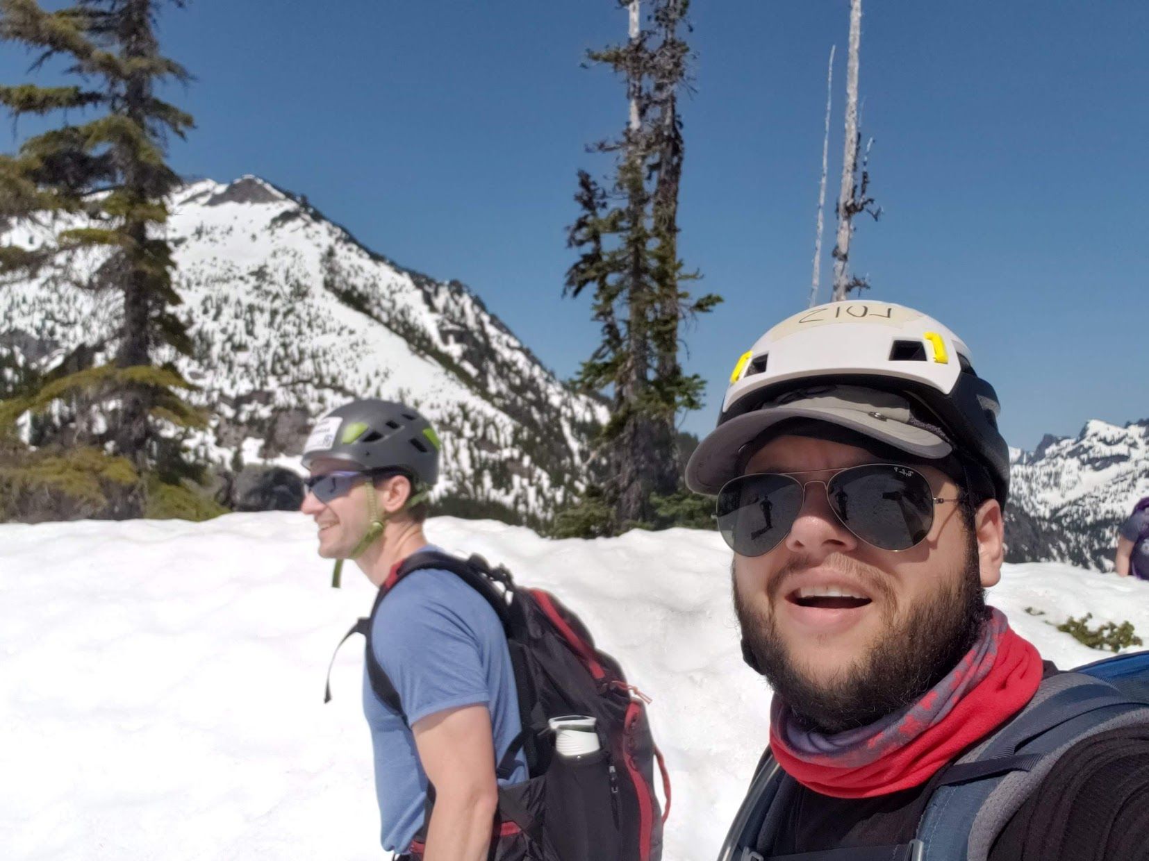
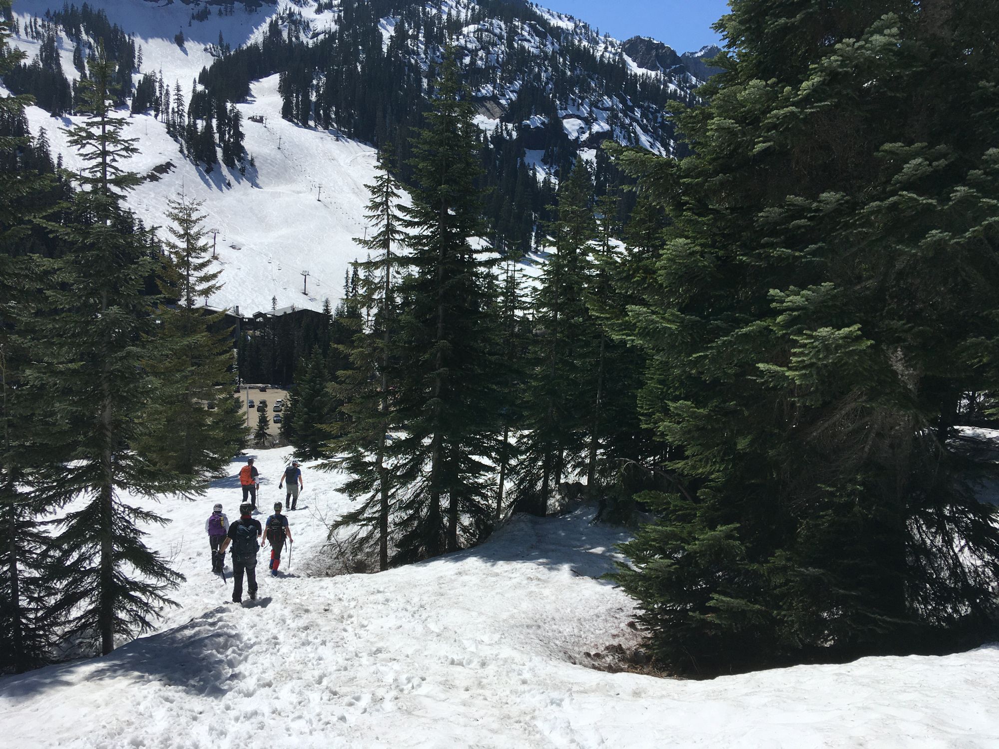
We got together and started discussing our plan and concerns at 8:00 on Alpental's parking lot; right at the Snow Lake Trailhead.
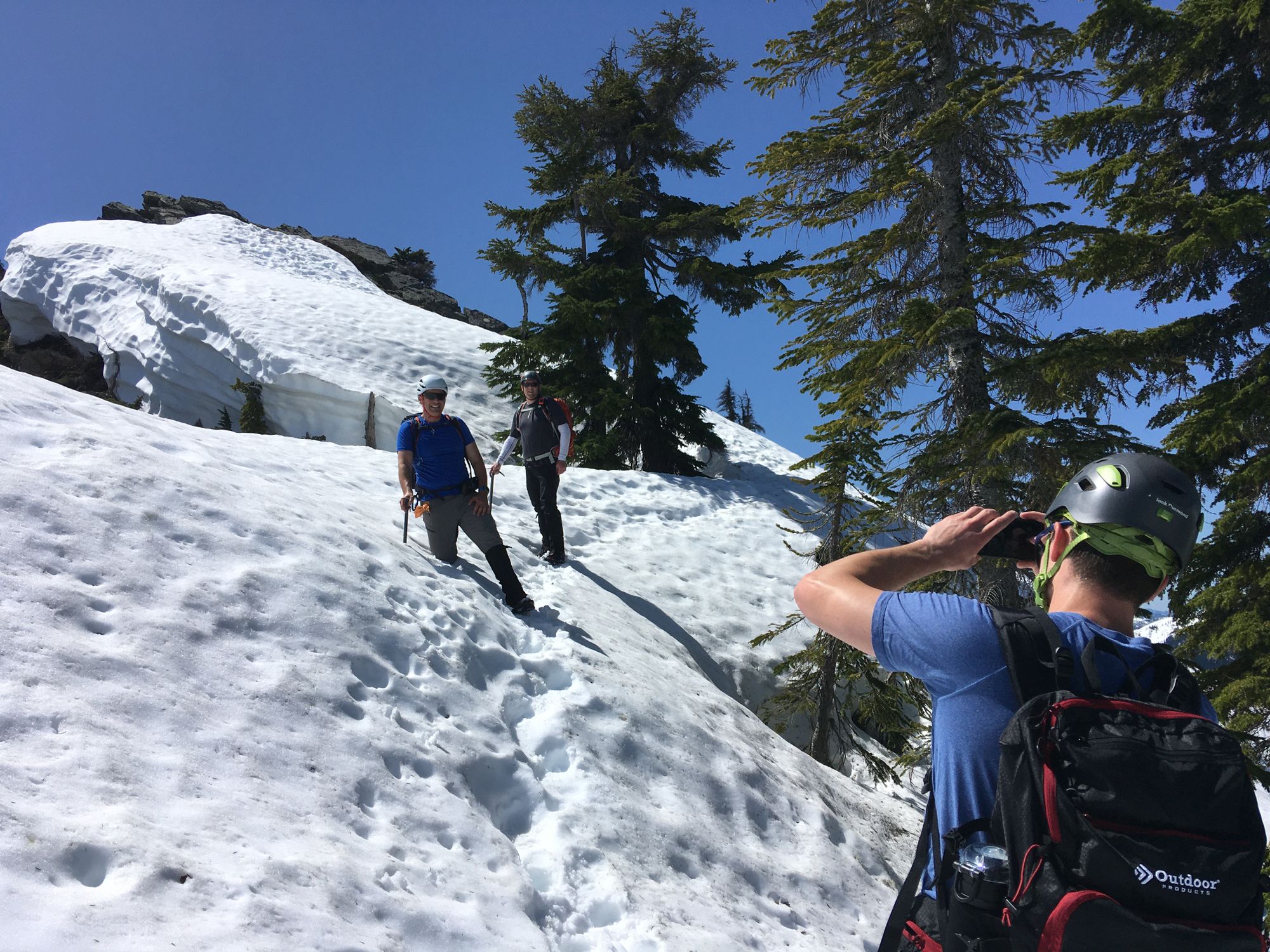
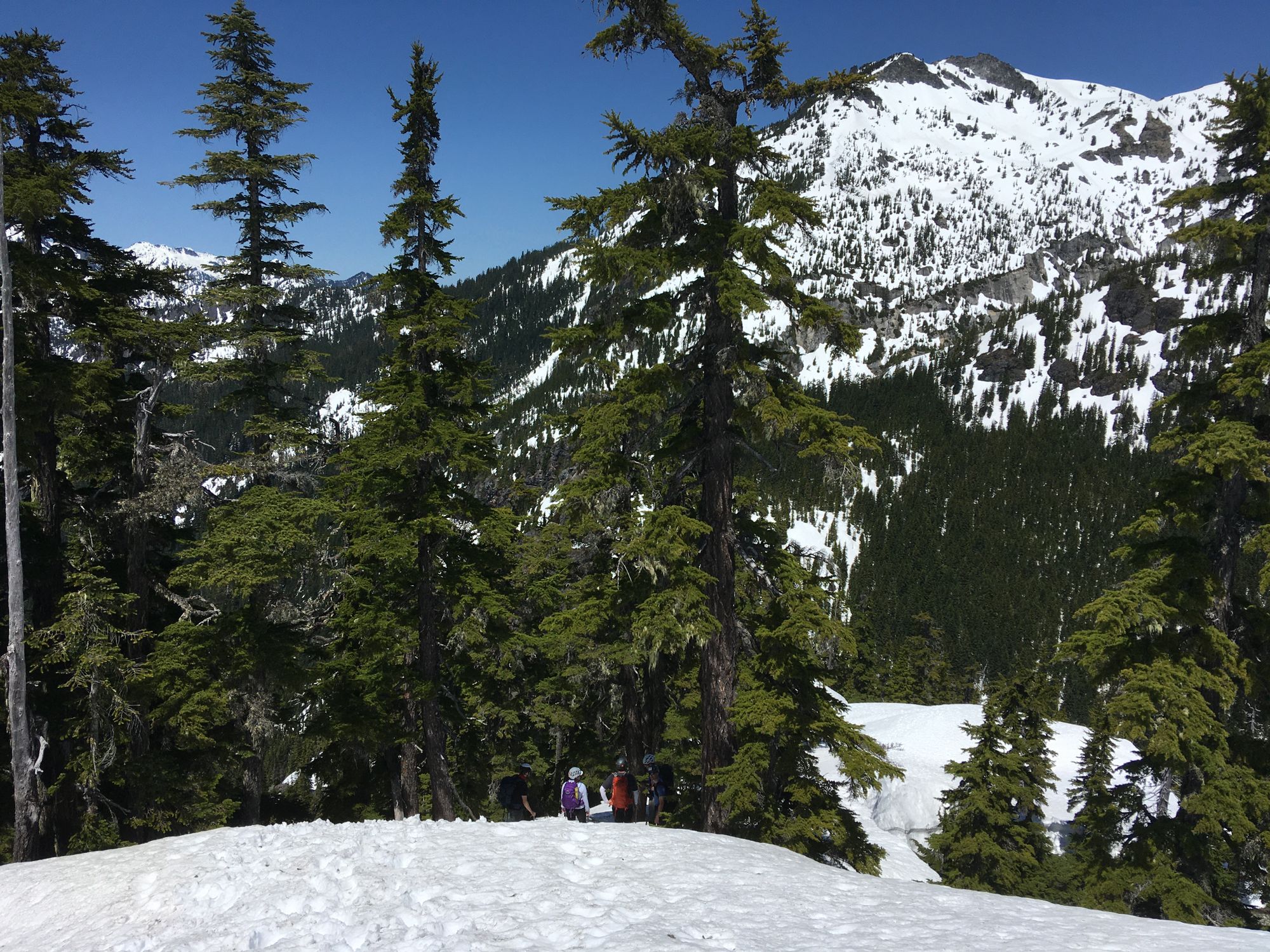
There was snow right from the beginning, so we started with piolets on hand. We took the western ascent closely following a creek and waterfall. This area doesn't have sun exposure in the morning, so we had some work kicking steps.
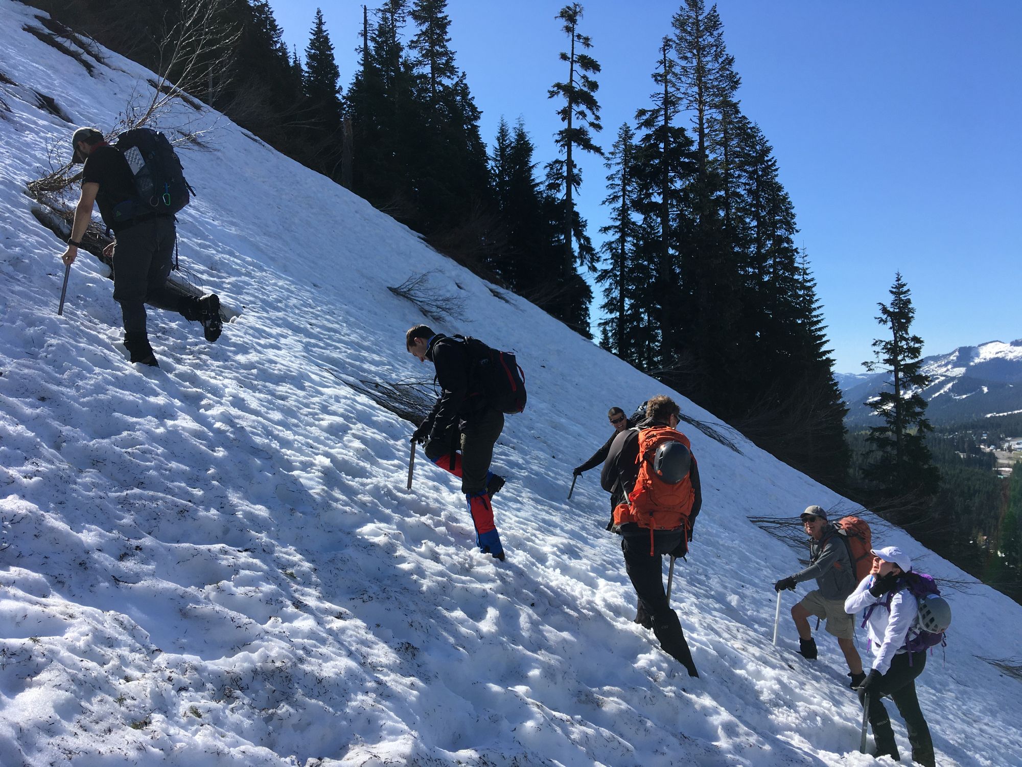
All this area was mostly huff and puff. Sweating, but a fall would only mean a small slide and some scratching.
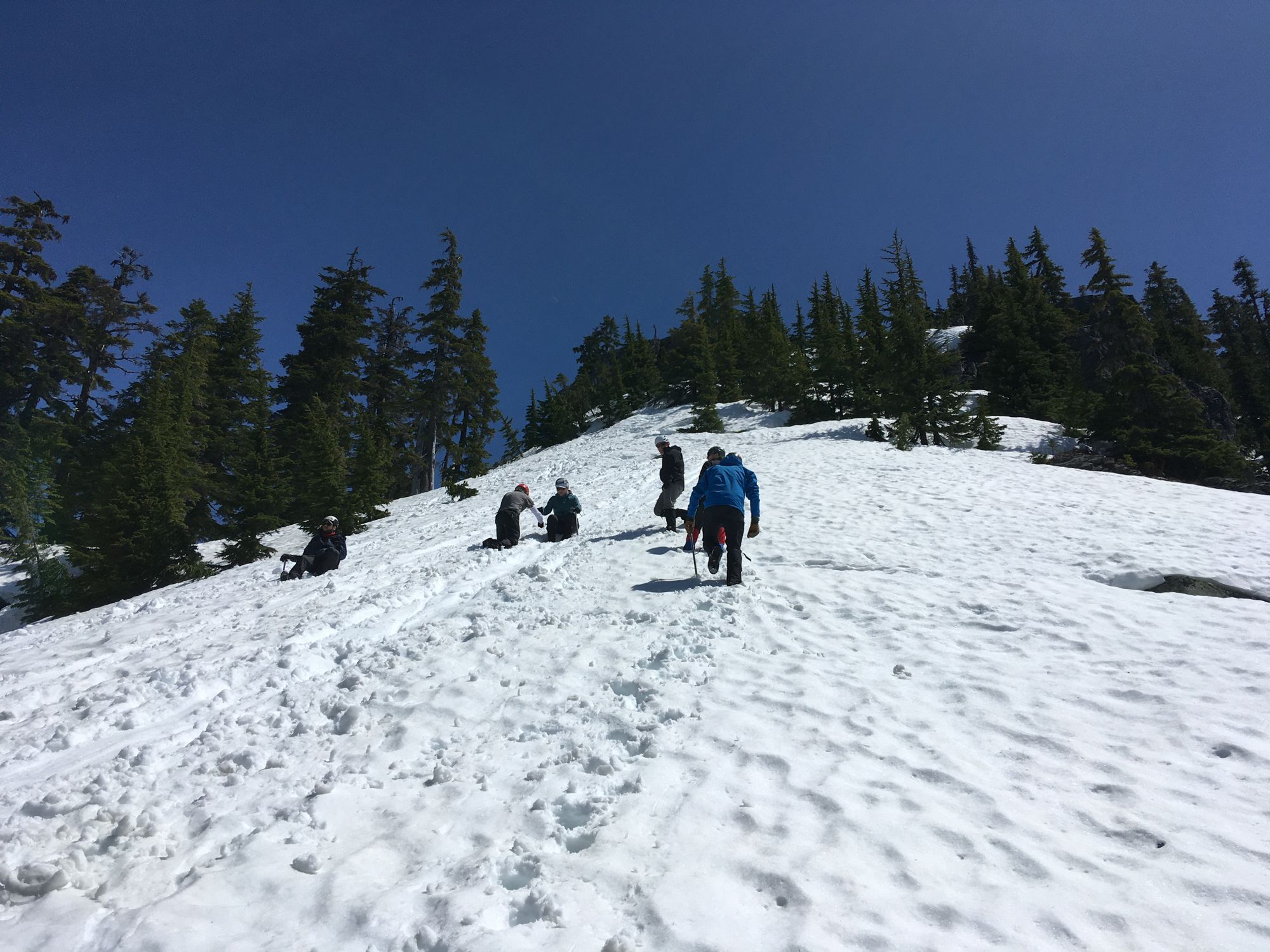
About 2-3 of the way to where we veered off eastwards we really started going more vertically. Kicking steps was a real necessity now, then we traversed eastwards, side hilling right below a big face of vertical rock.
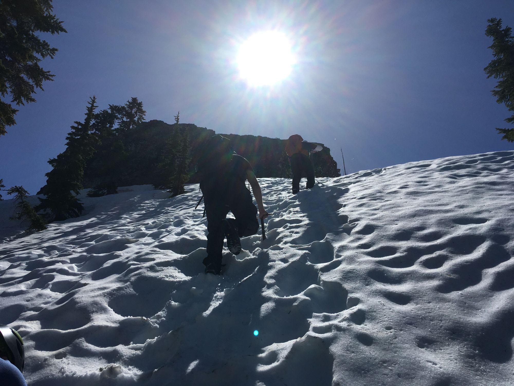
I learned in this section that It is way more comfortable to go up than sidehill. I slipped several times while side hilling, but was always able to stop it from becoming a fall with the piolet's spike. A day later I am very sore in the shoulders for constantly sticking the spike in the hard snow. Overall this traverse was where I felt less comfortable.
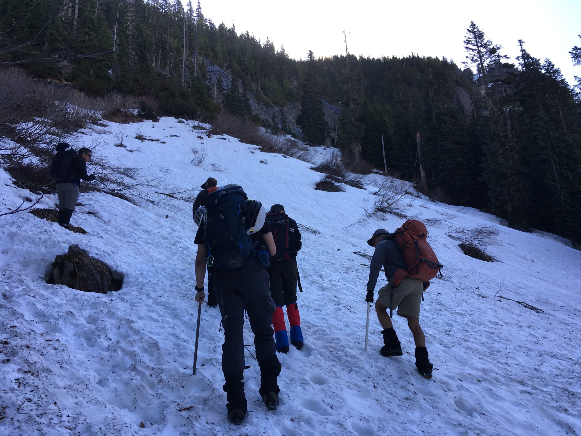
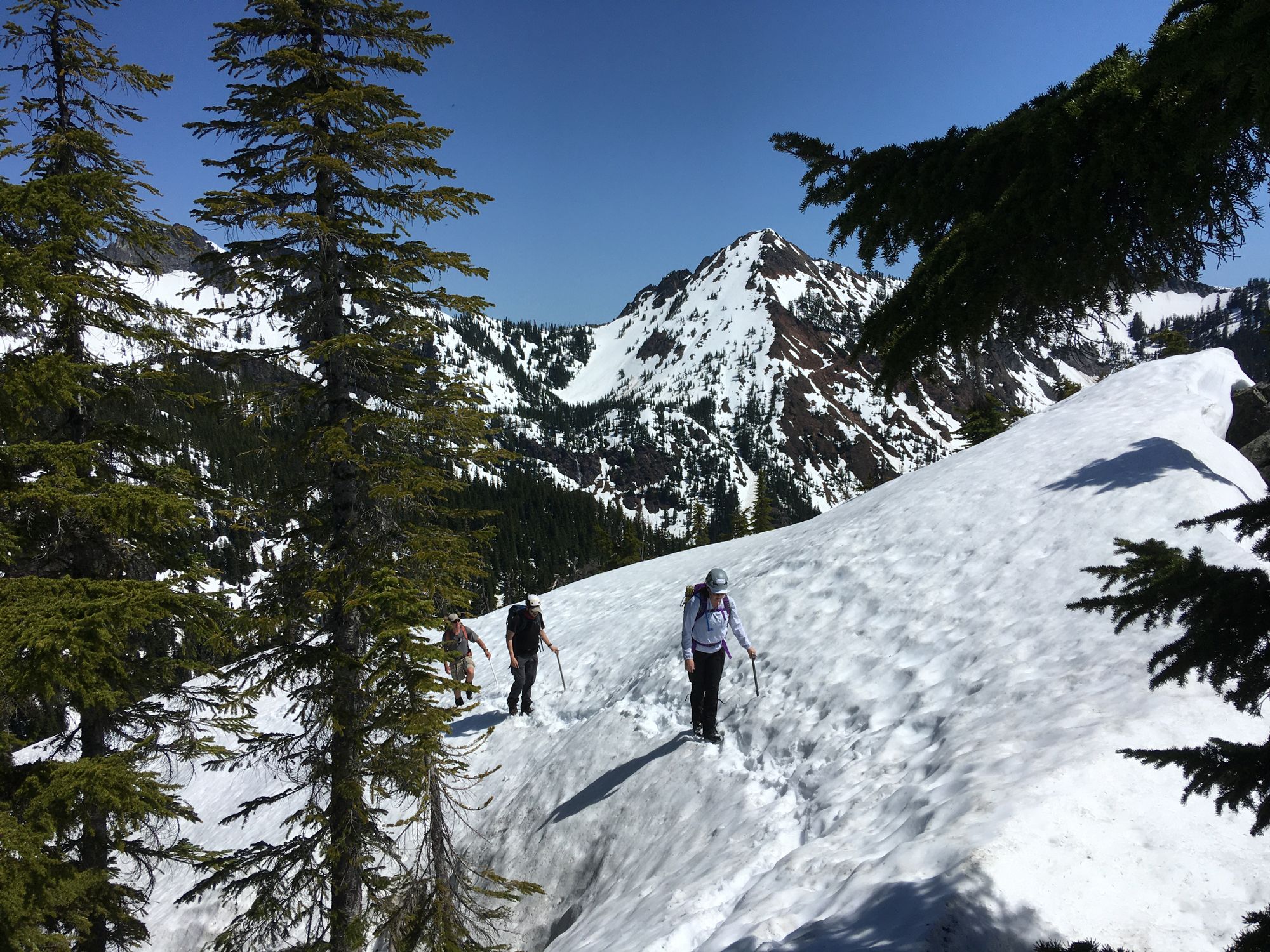
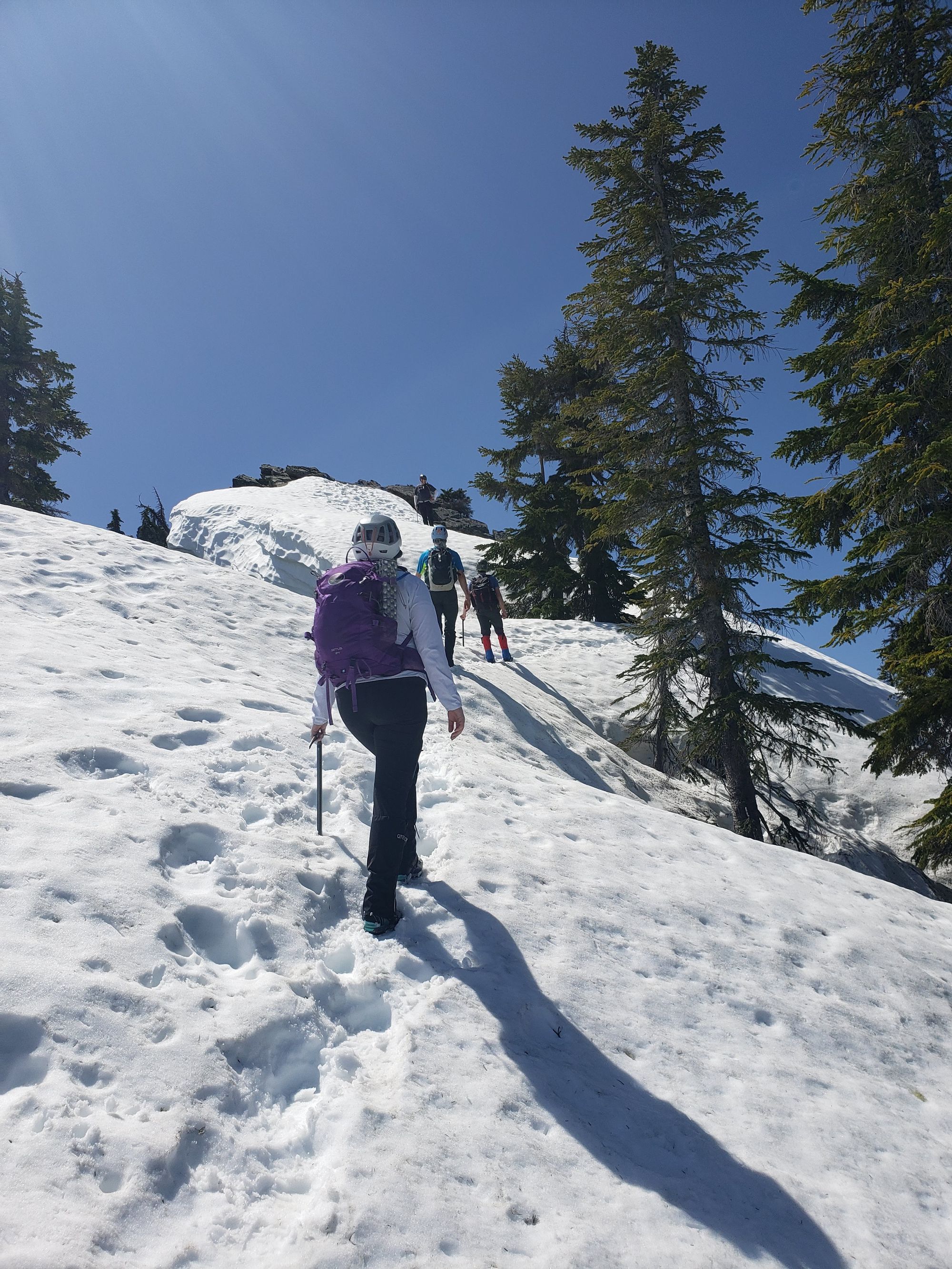
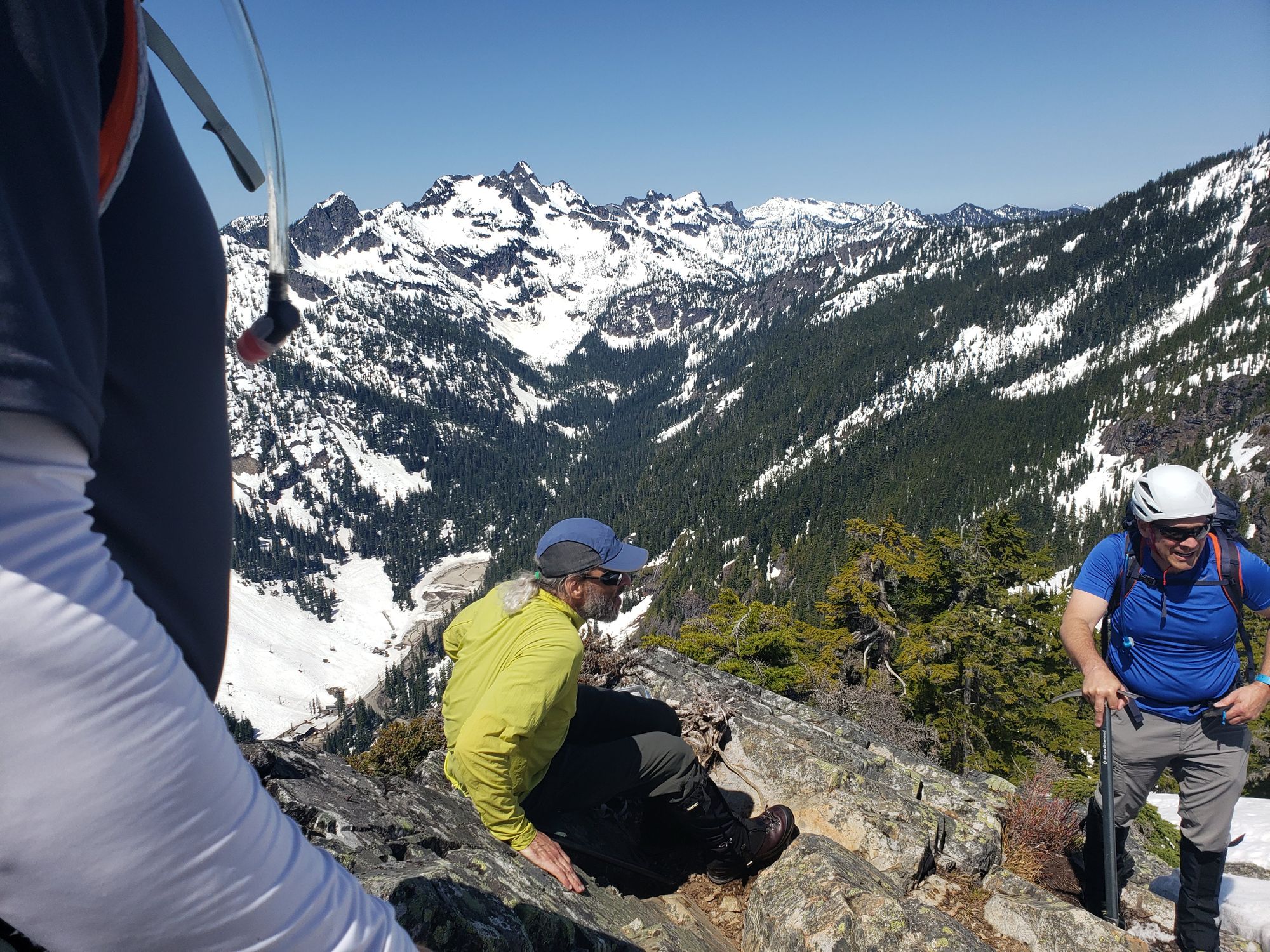
After going southwards, about half way through the terrain became steep again. On the way up we didn't make it to the ridge and were side traversing while ascending for a while. You can see the some of it in the Gaia tracks, but the app stopped tracking.
In here, apart from sidestepping, you could see the cliffs down to the right. In the event of a fall, you would likely NOT go for the cliffs, but something inside my head didn't understand that and I actually became quite nervous in here. I can't remember if it was on the way up, or down, but I actually fell in this section and did a quick arrest. I remember hearing Lyle saying I had a great arrest position, but I had my heart pumping so hard I didn't quite follow the conversation.
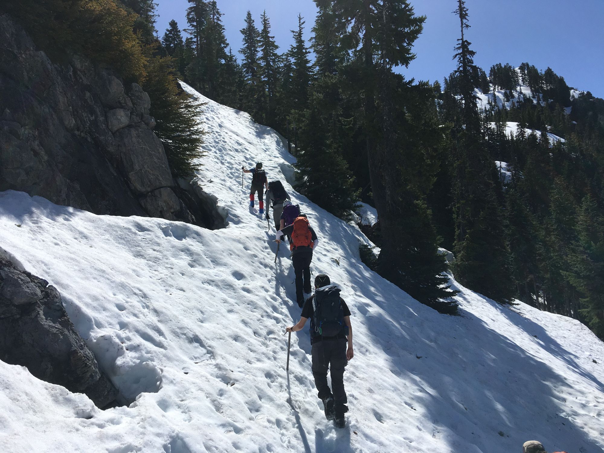
The last stretch to the summit was very steep, but the runoff was very safe, so there was nothing to worry about. Although I lost my depth perception as my vision started to be more distant peaks than my own ground.
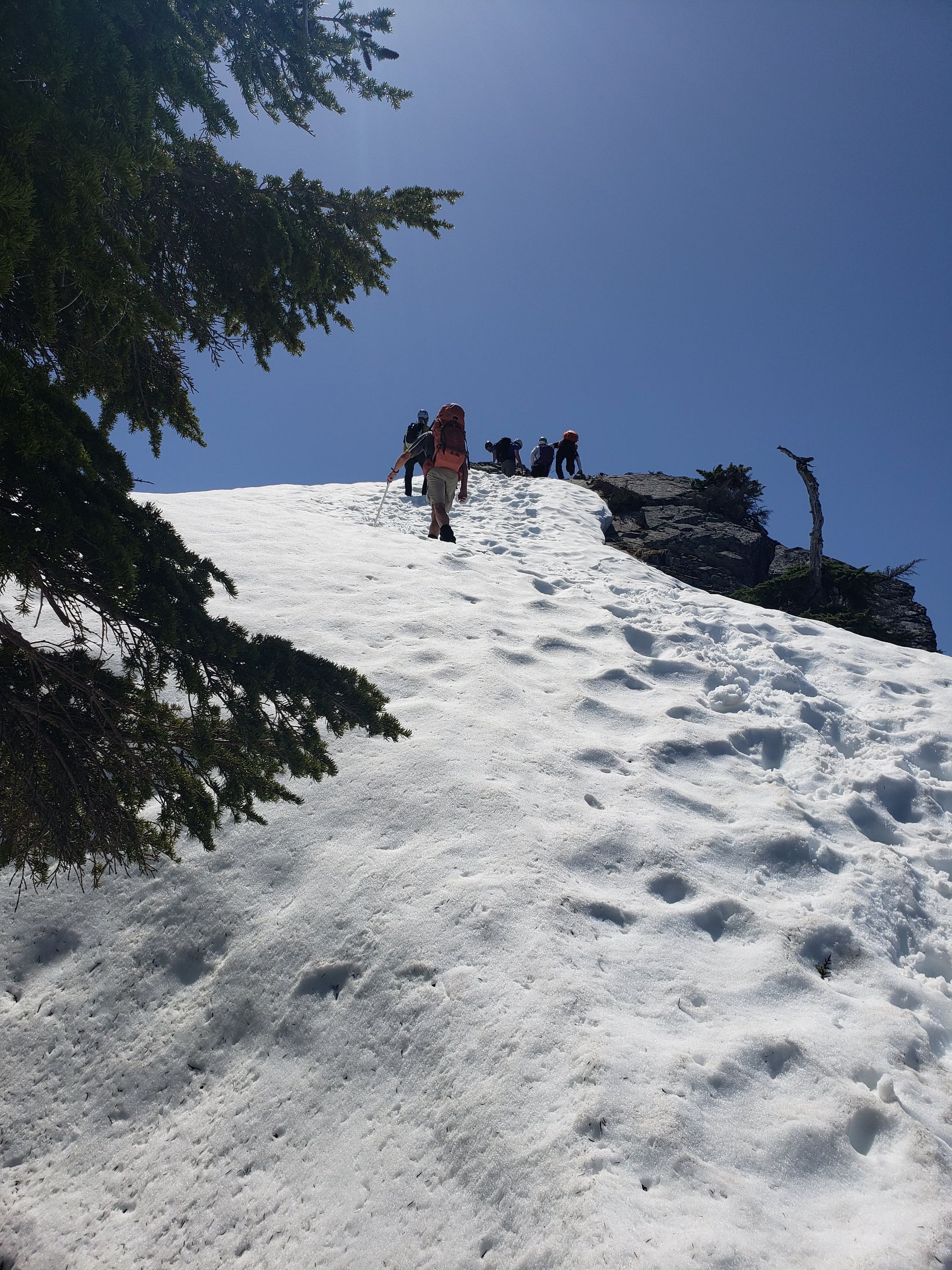
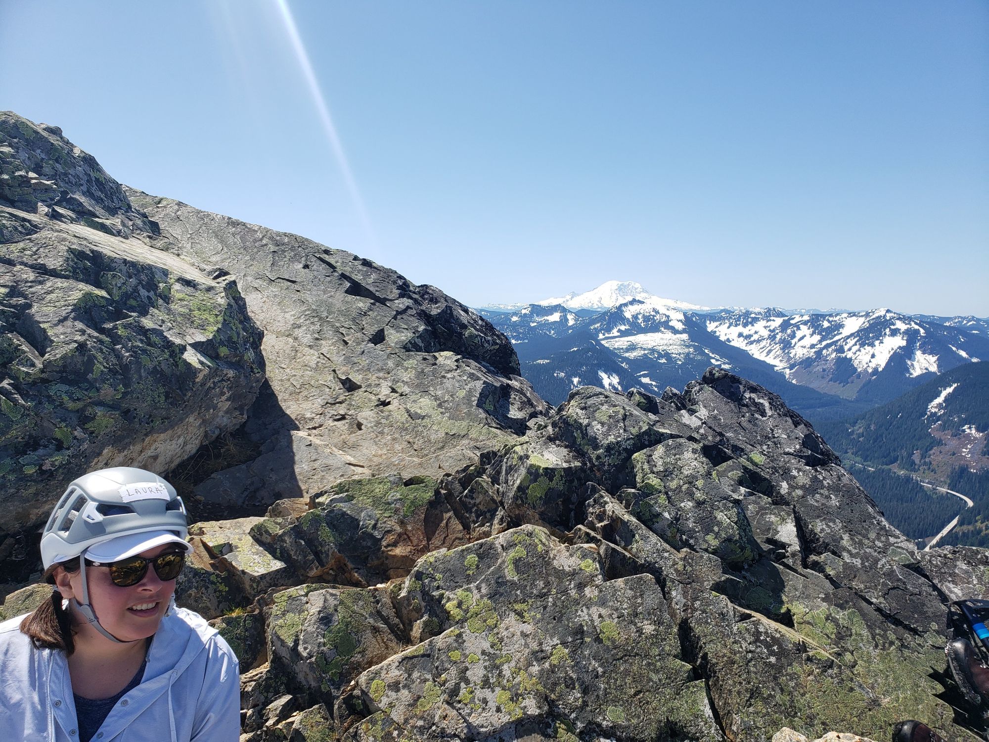
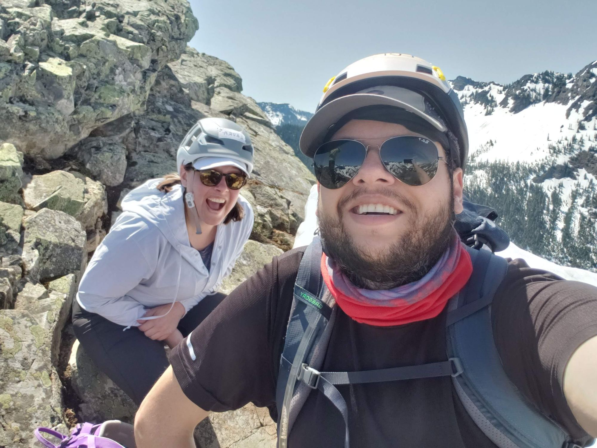
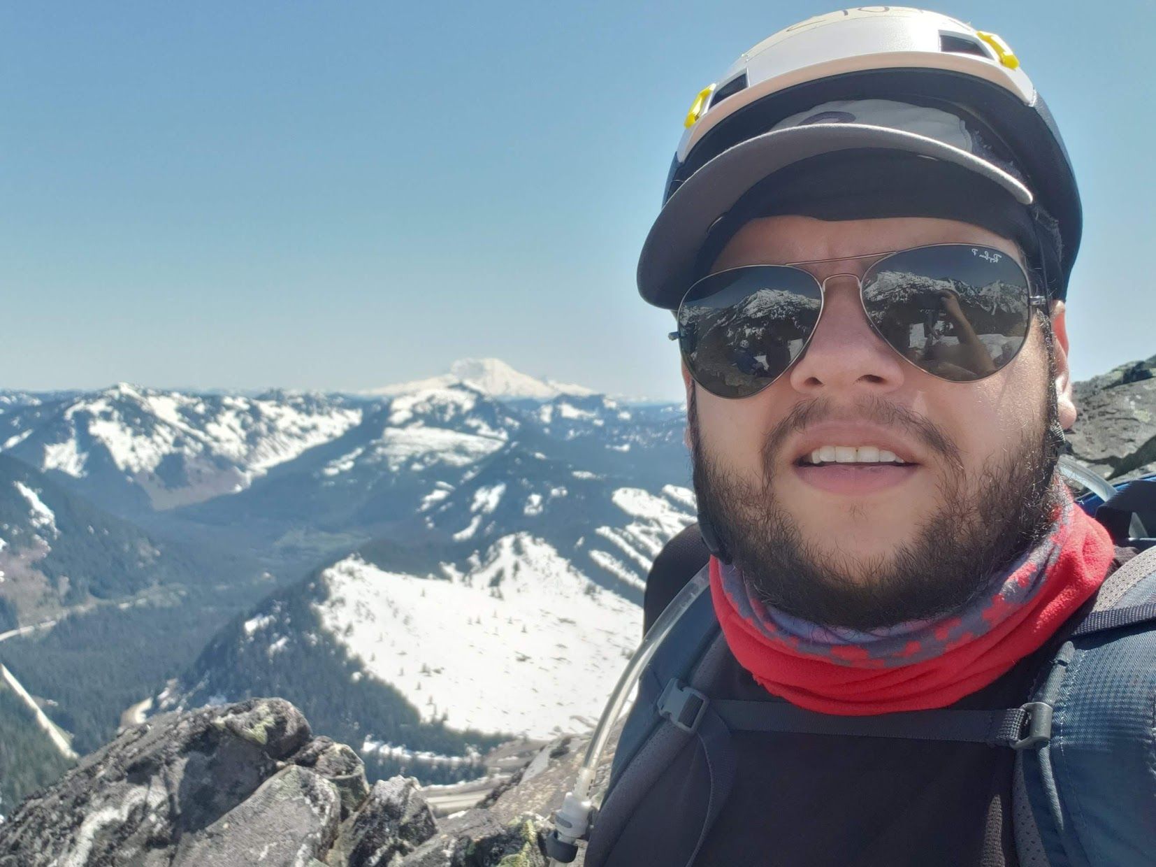
The summit was completely melted out, and it is quite big, so we took a long lunch break there. It was a beautiful day and we had 360° views. Rainier seemed very impressive, although the pictures do not show that.
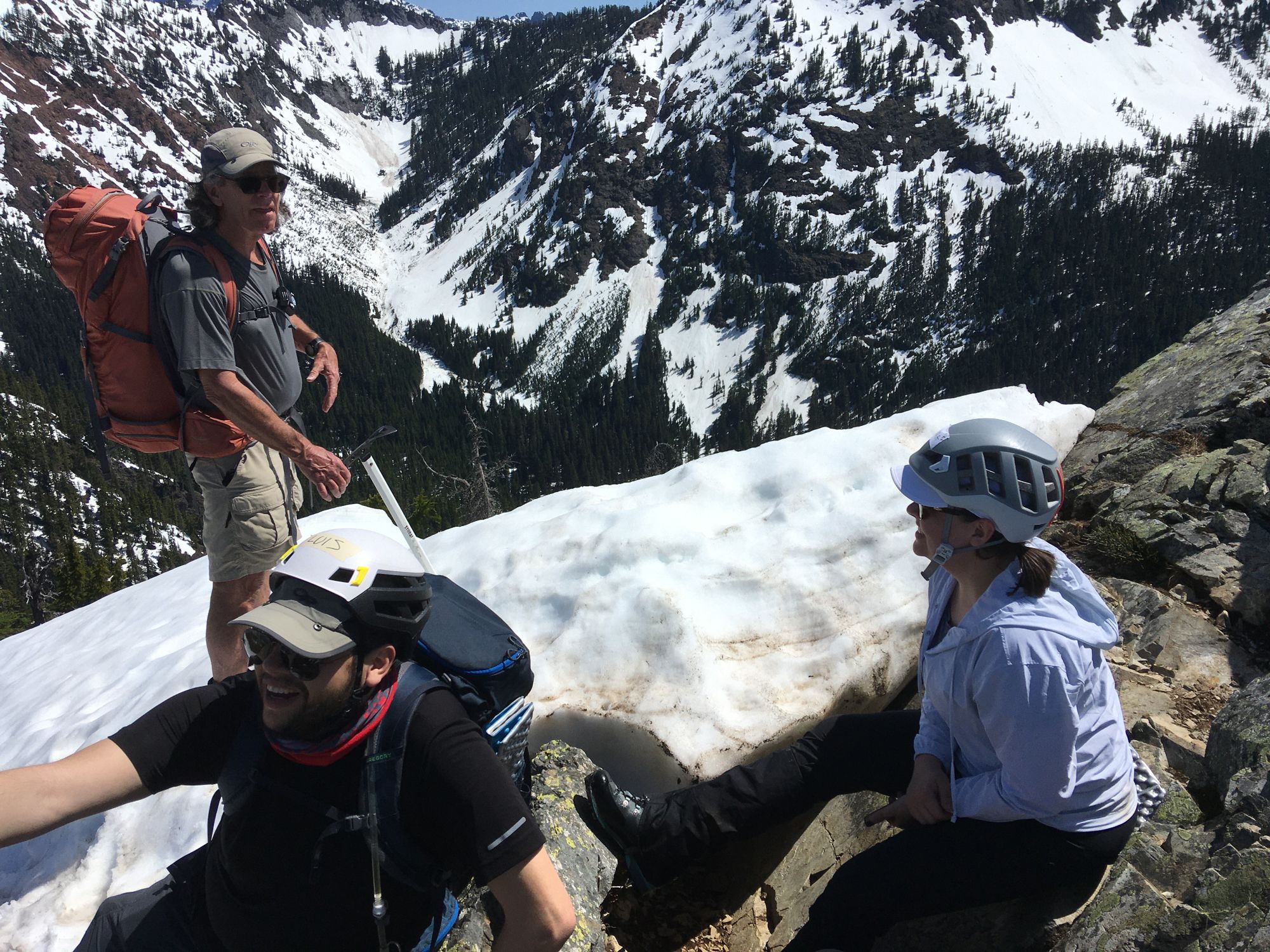
On our way down we stopped about 1/3 of the way down from the summit to the saddle to practice self arrests.
We had some minor falls, Mark did fall and had to self arrest. I wasn't the only one
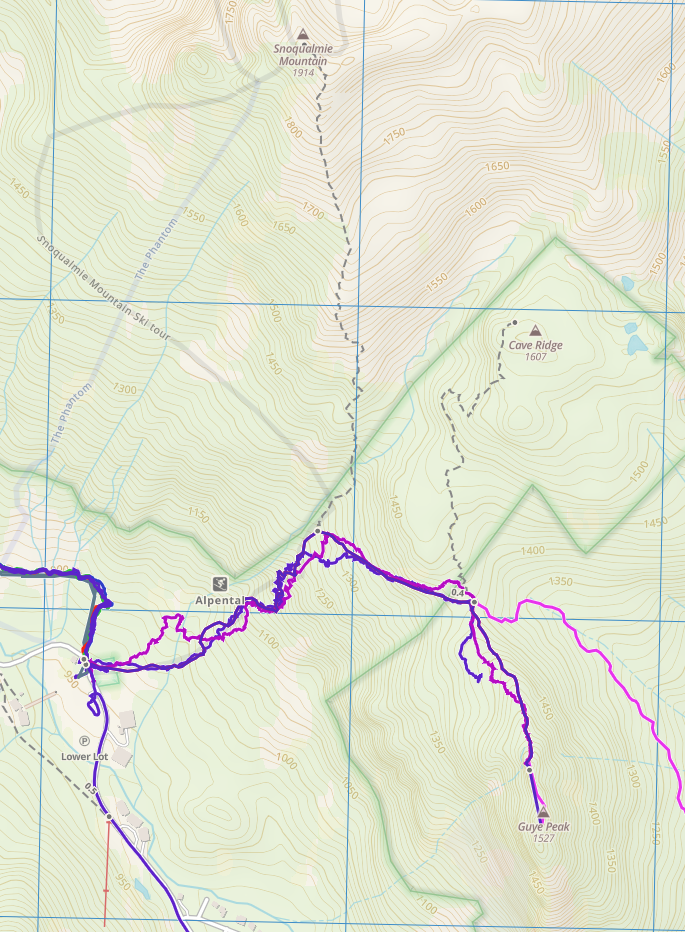
The whole trip took 6:36 hrs, and was marked by my watch as 3.32km only!
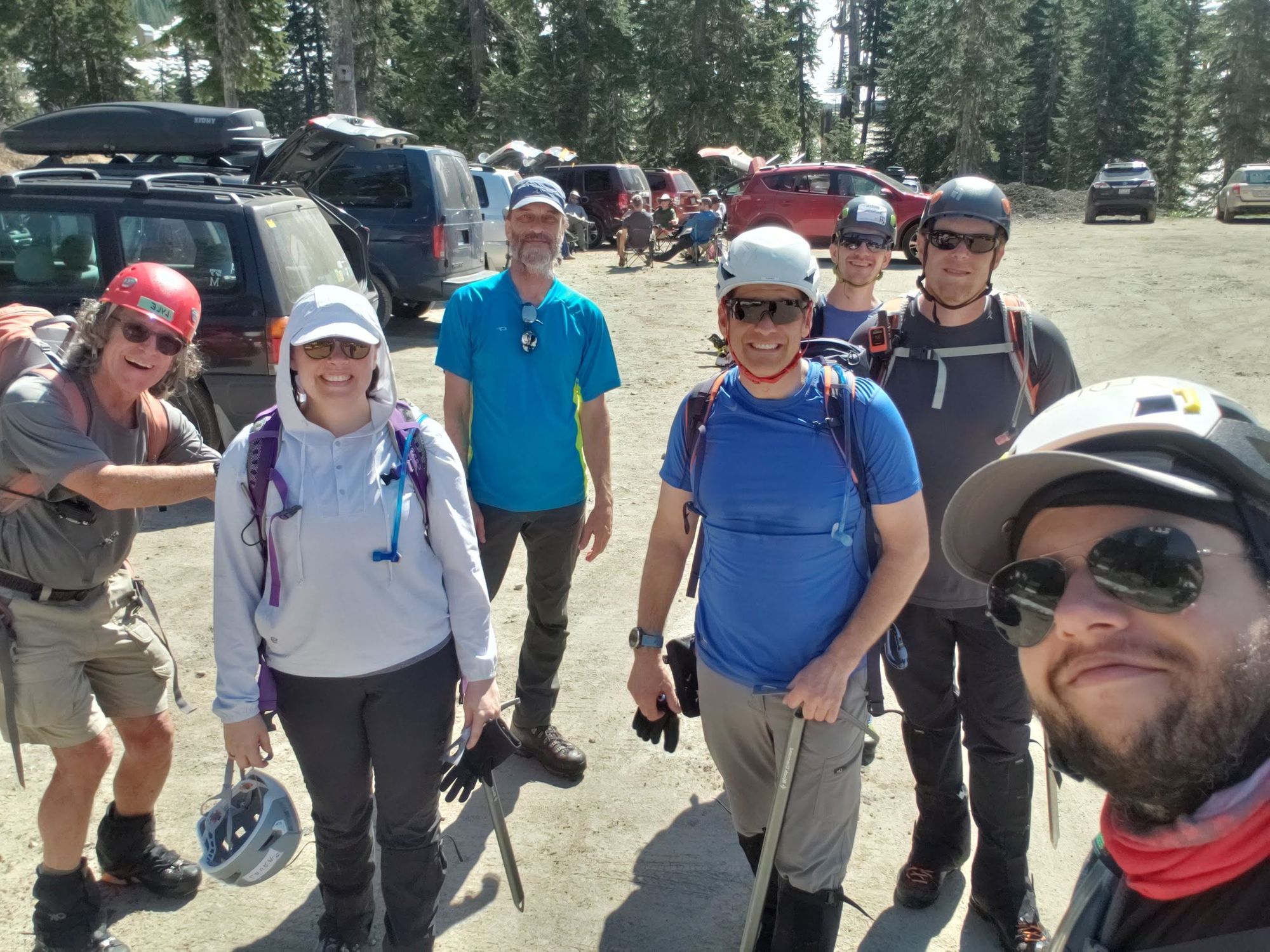
We made it back safe and in good spirits. We saw a crew of Search and Rescue in the parking lot. The other Mountaineers group that went to Snoqualmie Mountain made it back safe.