Colchuck+Stuart Lake

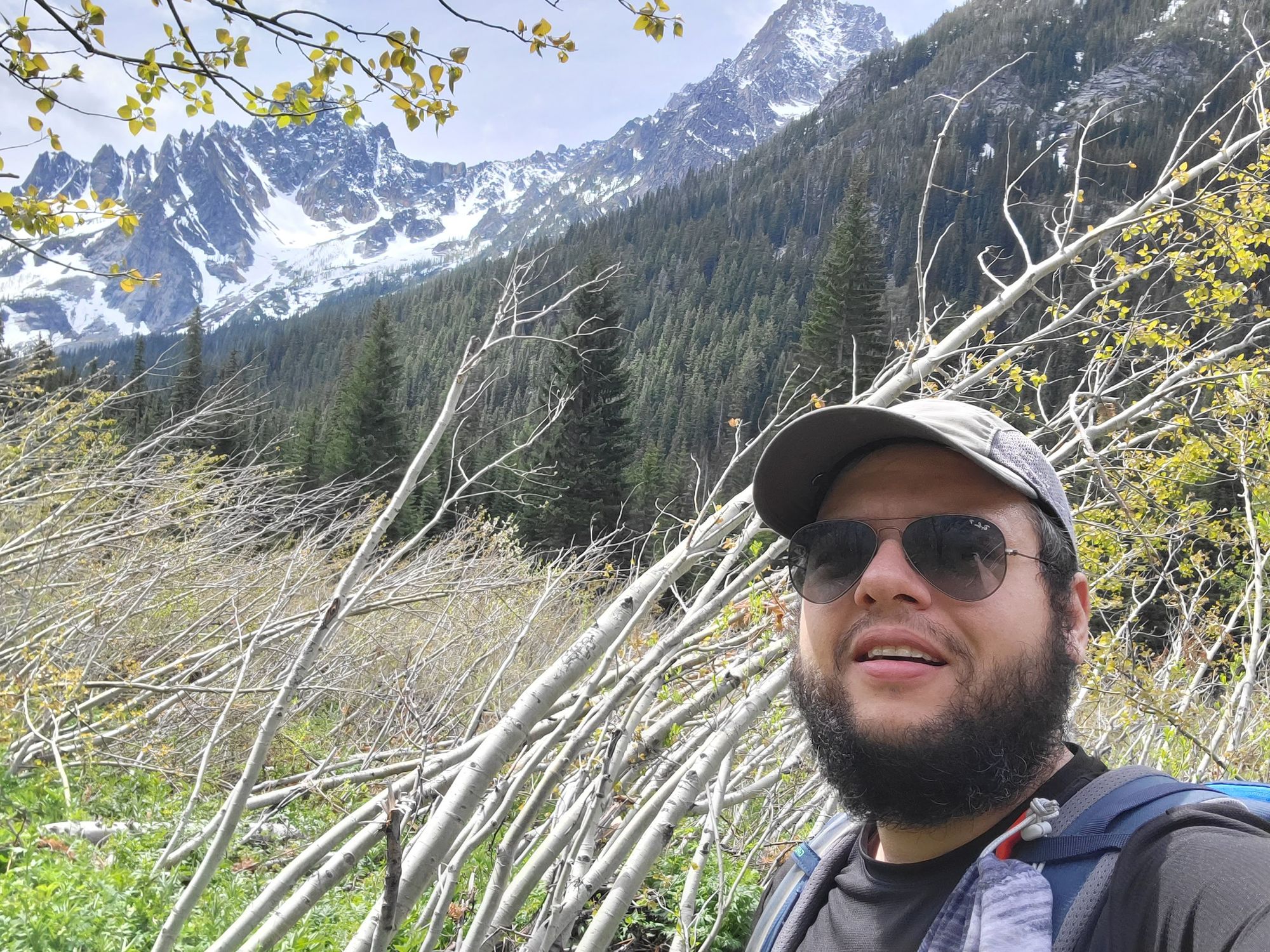
Woke up at 4:30 to meet in Bellevue at the Wilburton Park and Ride. After a restroom stop and a stop at Safeway to pick up some beers, we made it into the trailhead around 8:20.
The parking was full, as was expected. Most people parked on the right side of the road (going into the trailhead), a few were blocking on the left side, which made for an uncomfortable short drive. I missed to park at the end of the line so we ended up going into the parking to turn around. IIRC we parked around 0.3 miles away from the trailhead.
The trail at the beginning seems very simple and gains almost no elevation. It is very well maintained and has a few mud puddles here and there.
The first memorable thing from the hike was this log bridge
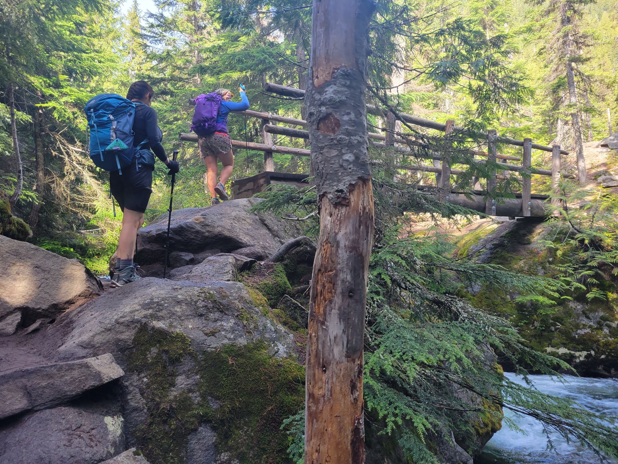
The next bridge crosses over a raging river. It is slightly tilted to the side, so it makes for a very safe but interesting walk.
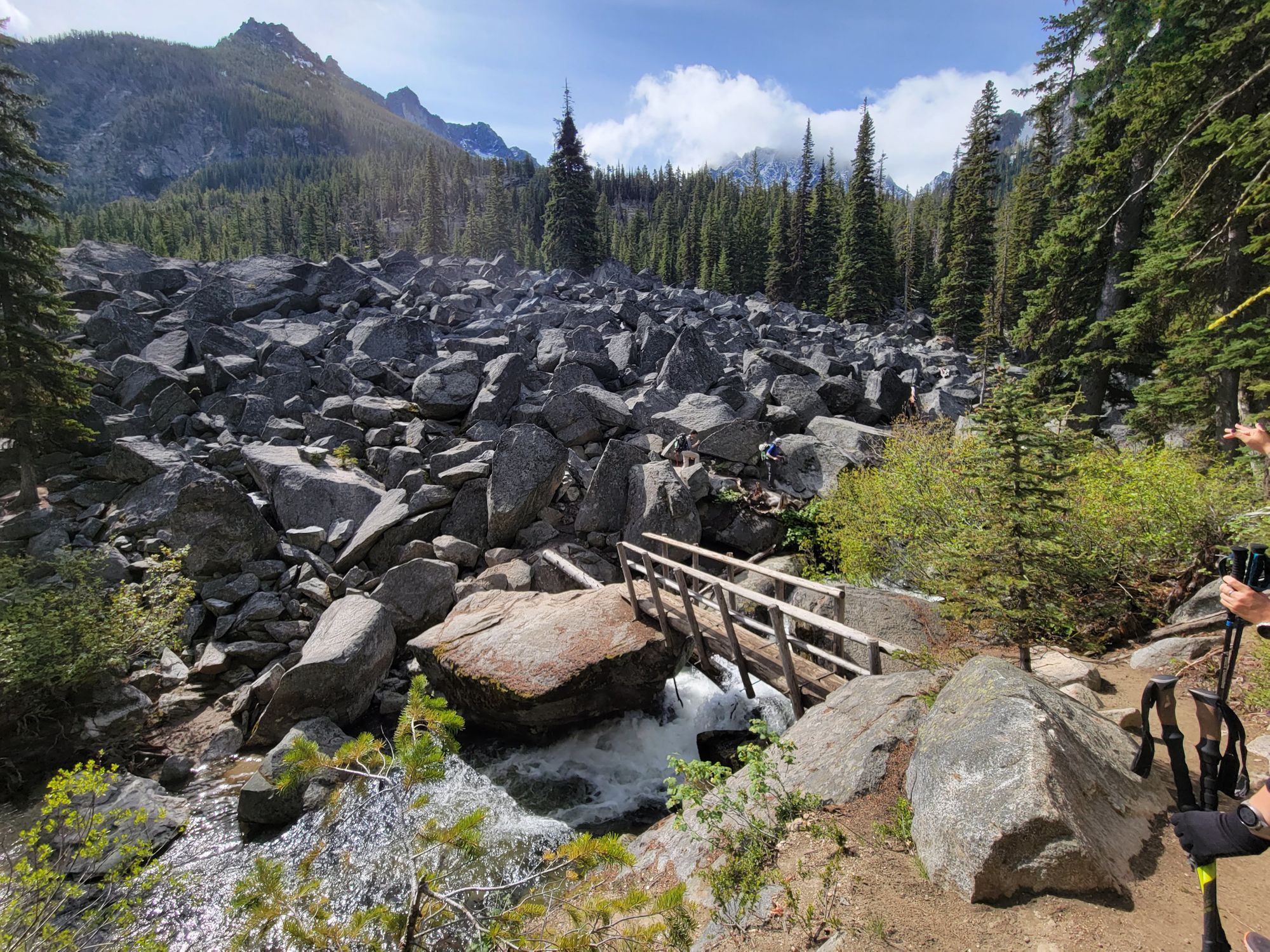
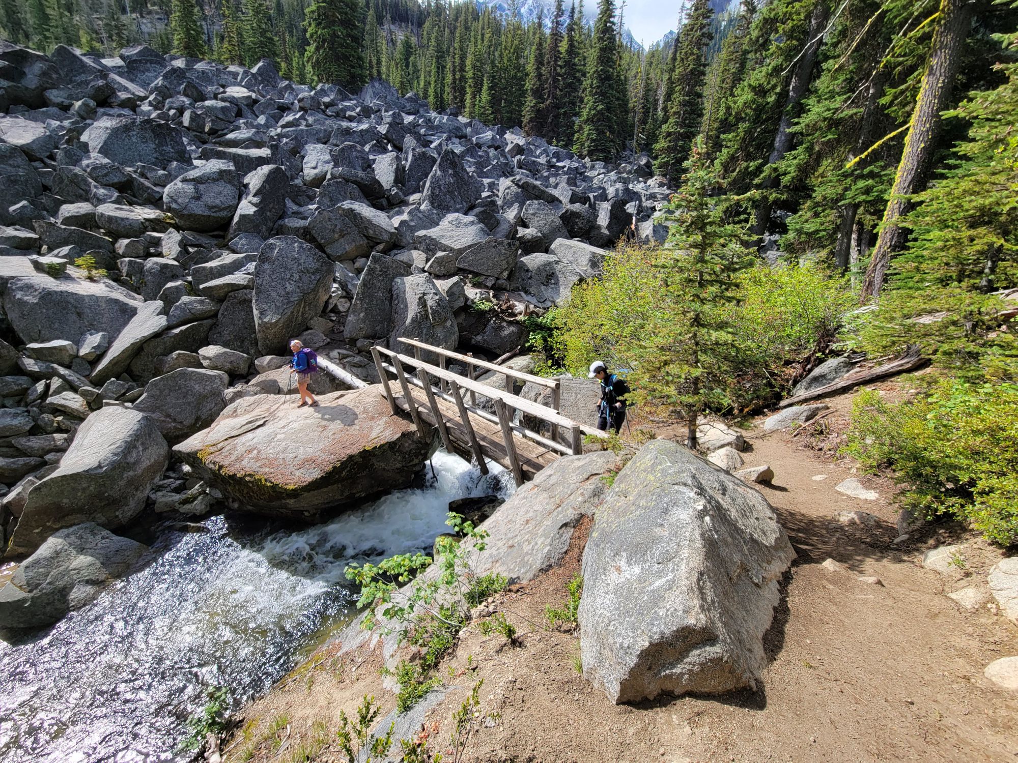
After the bridge you have to manage some talus walking to get to the other side. It seemed very easy but somehow Karla and I thought it felt not so-easy on the way in. It felt very easy and natural on the way out though.
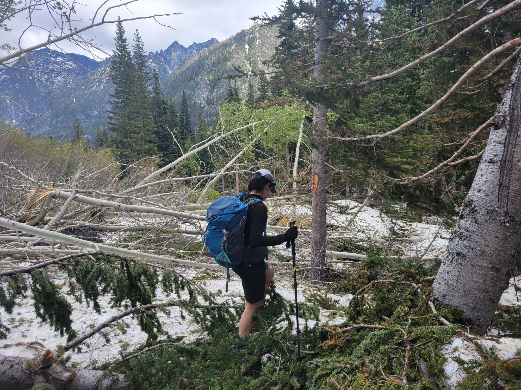
This is where the elevation gain starts. Roots and rocks in the trail become the norm. It's not a technical hike at all, but I made sure to pay attention to my footing as to not roll my ankle.
Up you go along the trail passing a crystal clear river that divides Stuart and Colchuck's trail. Note: I missed the turn twice in the day, even though it's very obvious.
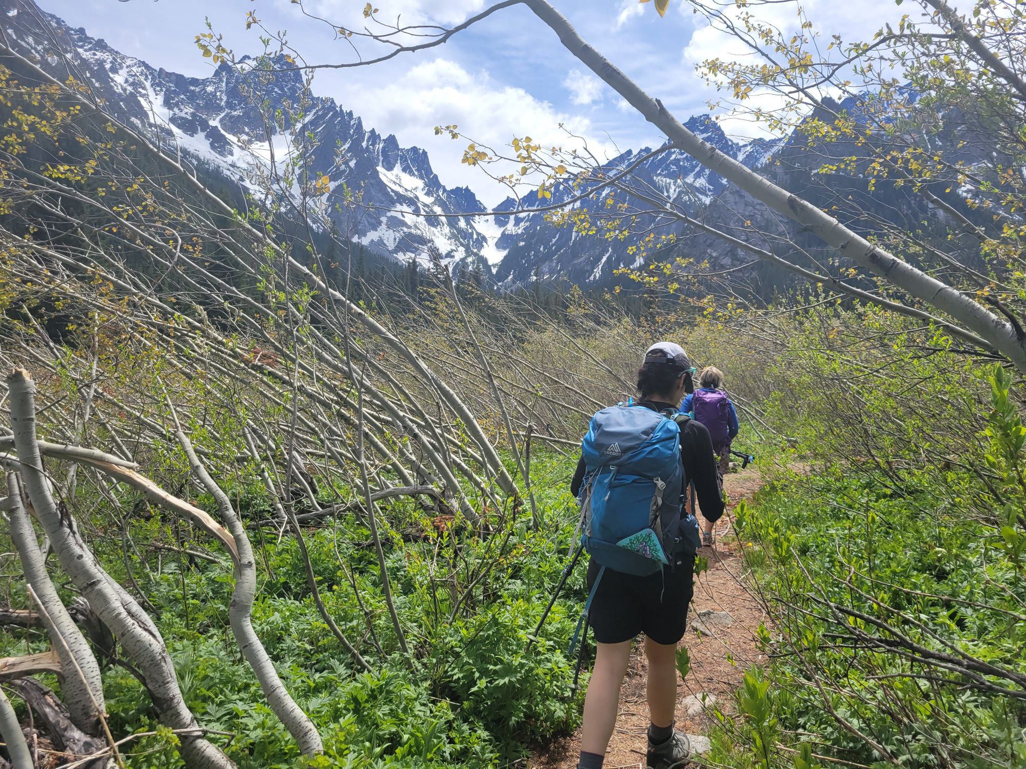
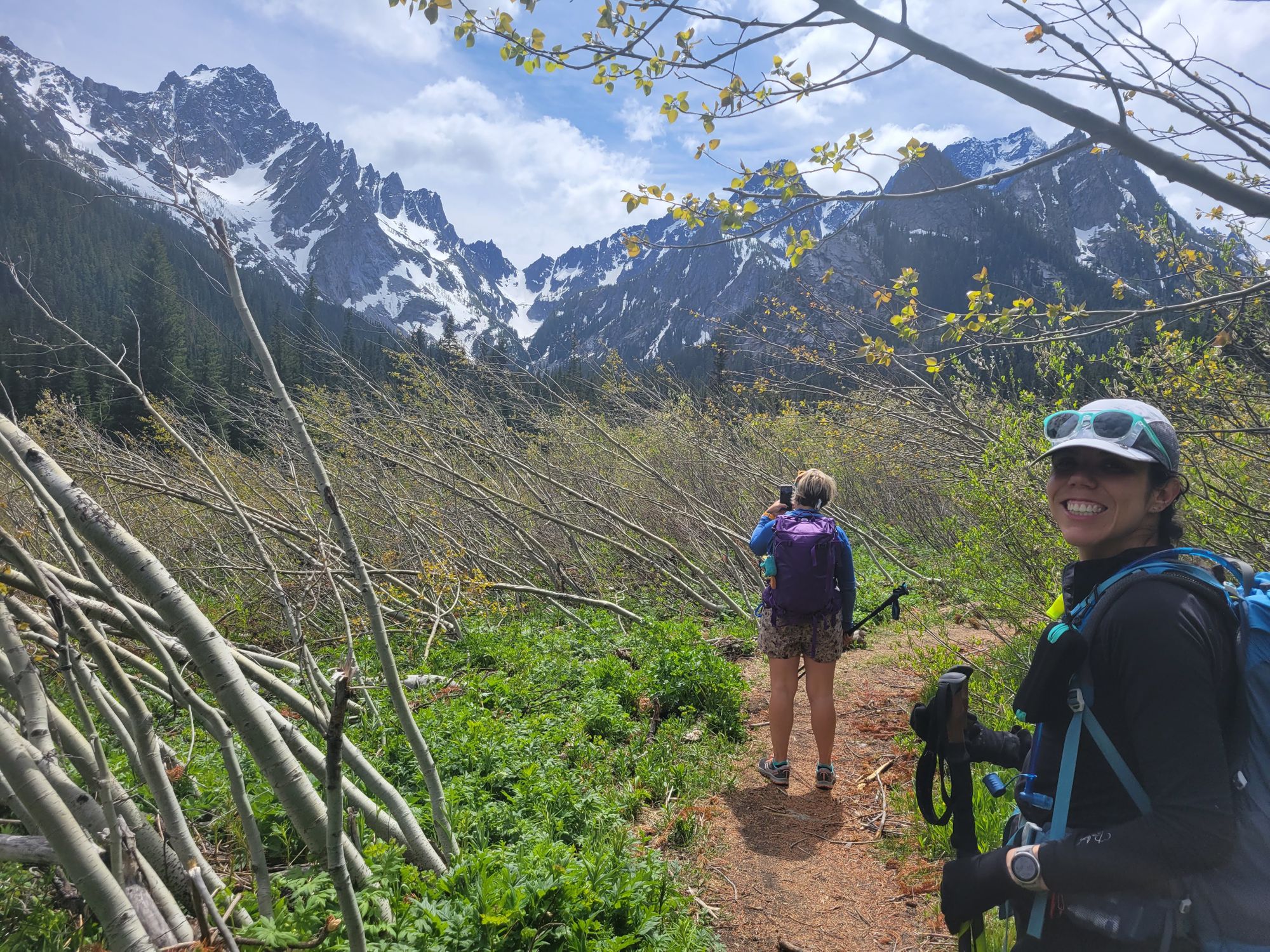
After some waterfalls and winding terrain that looked like the home of fairies from old tales, we made it into a flat, rocky area with smaller vegetation. It had a great lookout and some big rocks that were perfect for friction walking.
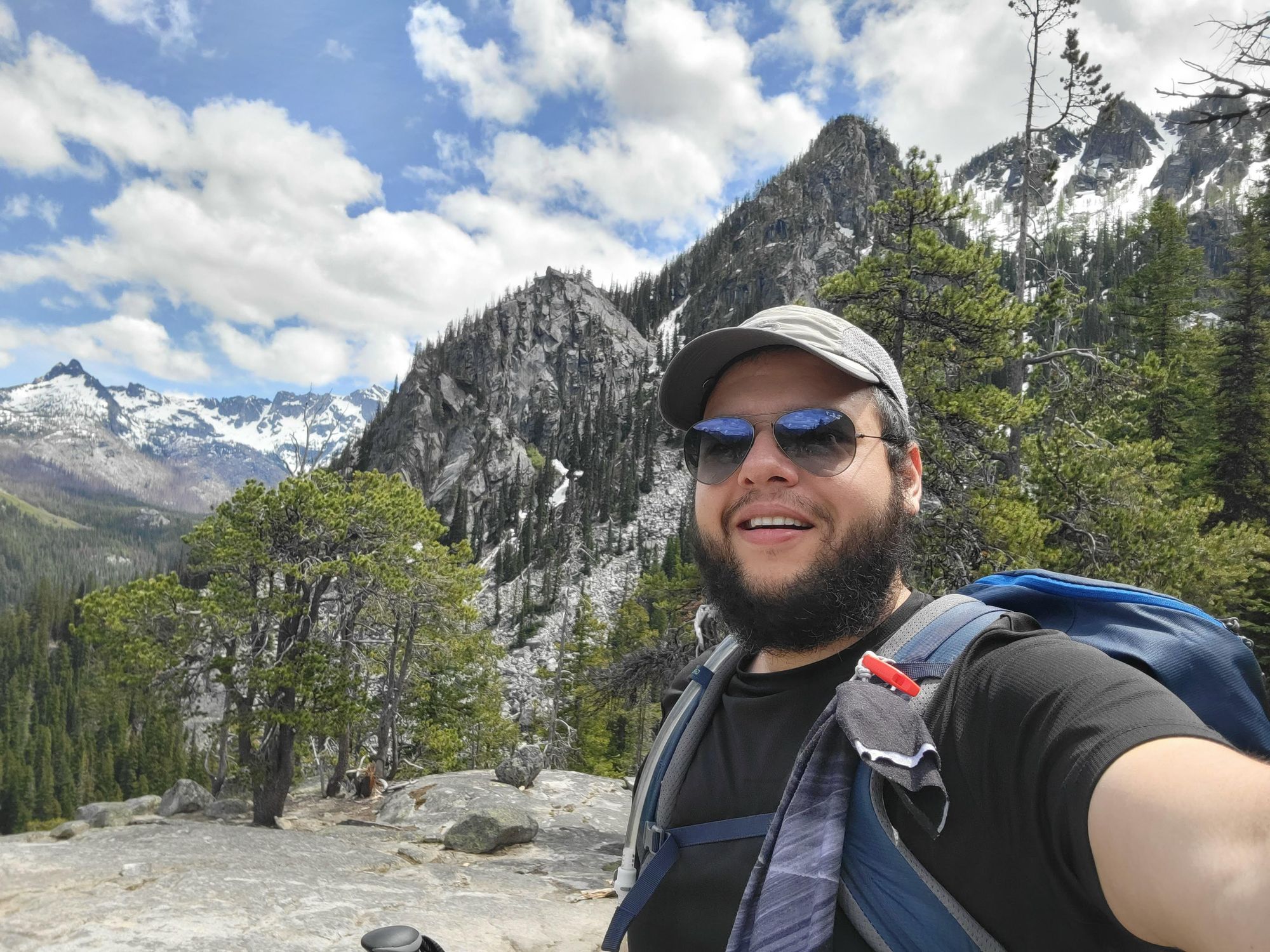
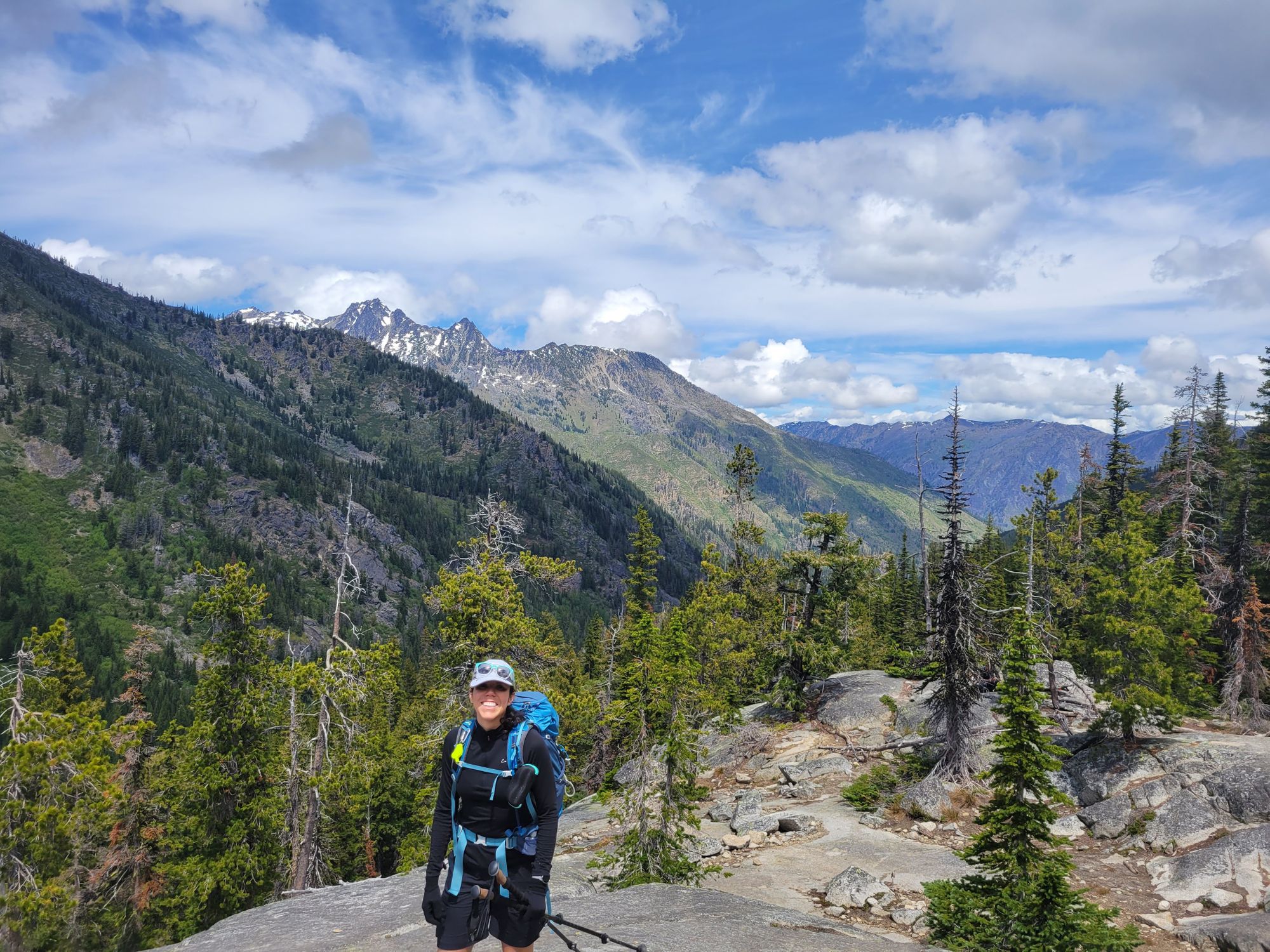
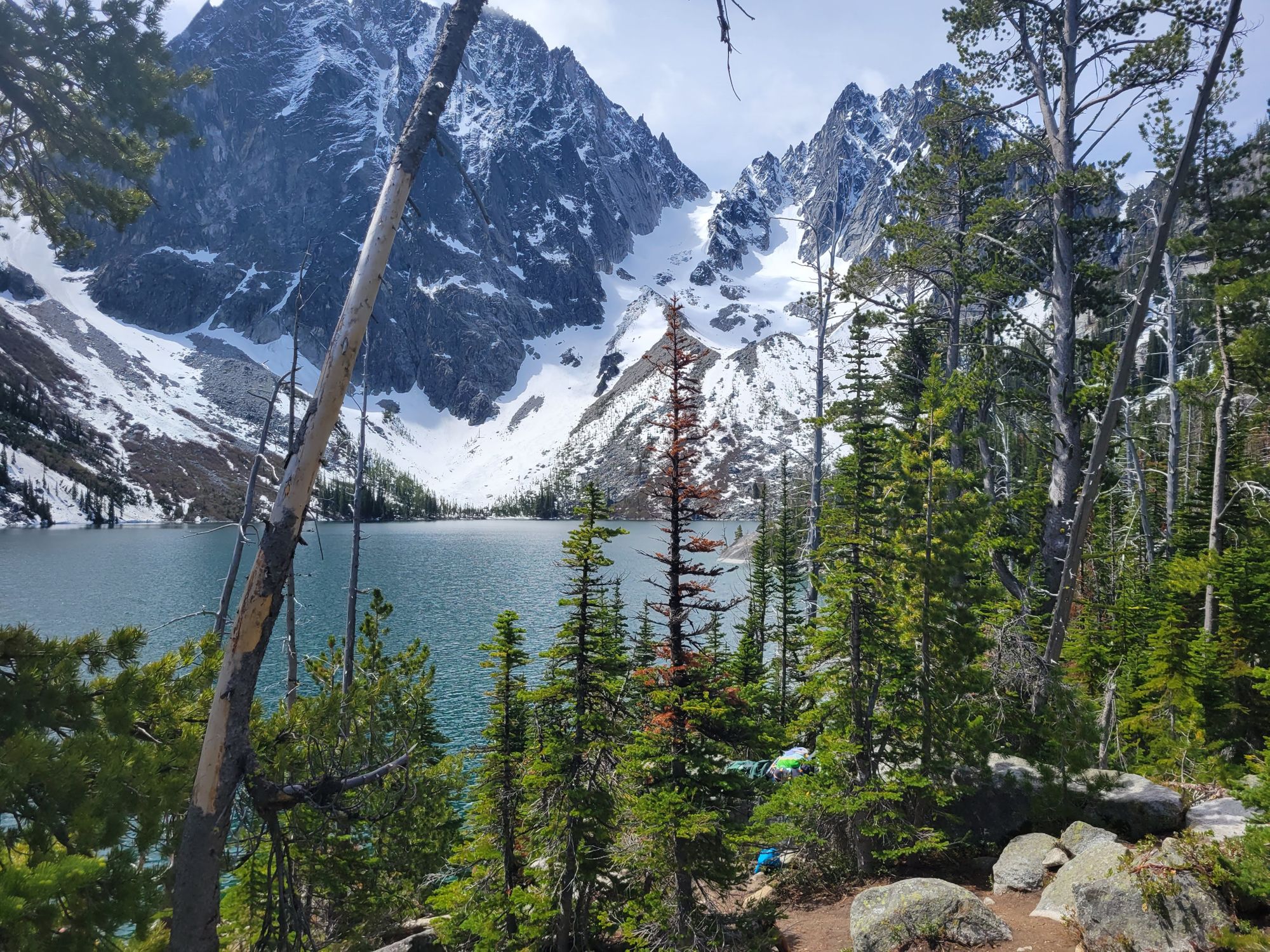
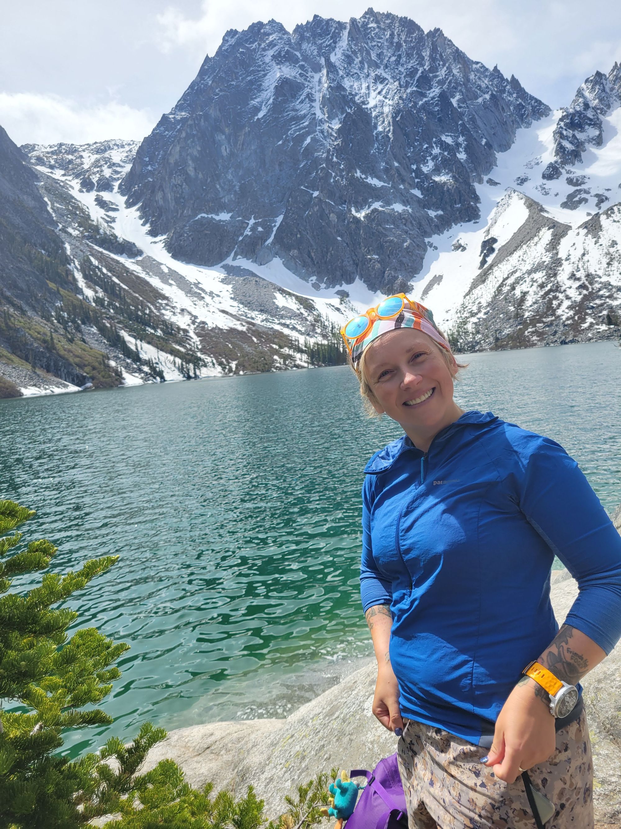
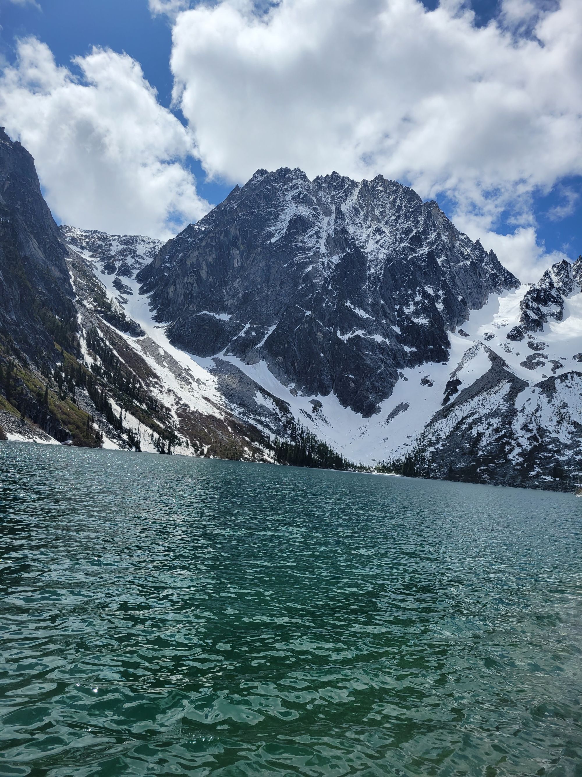
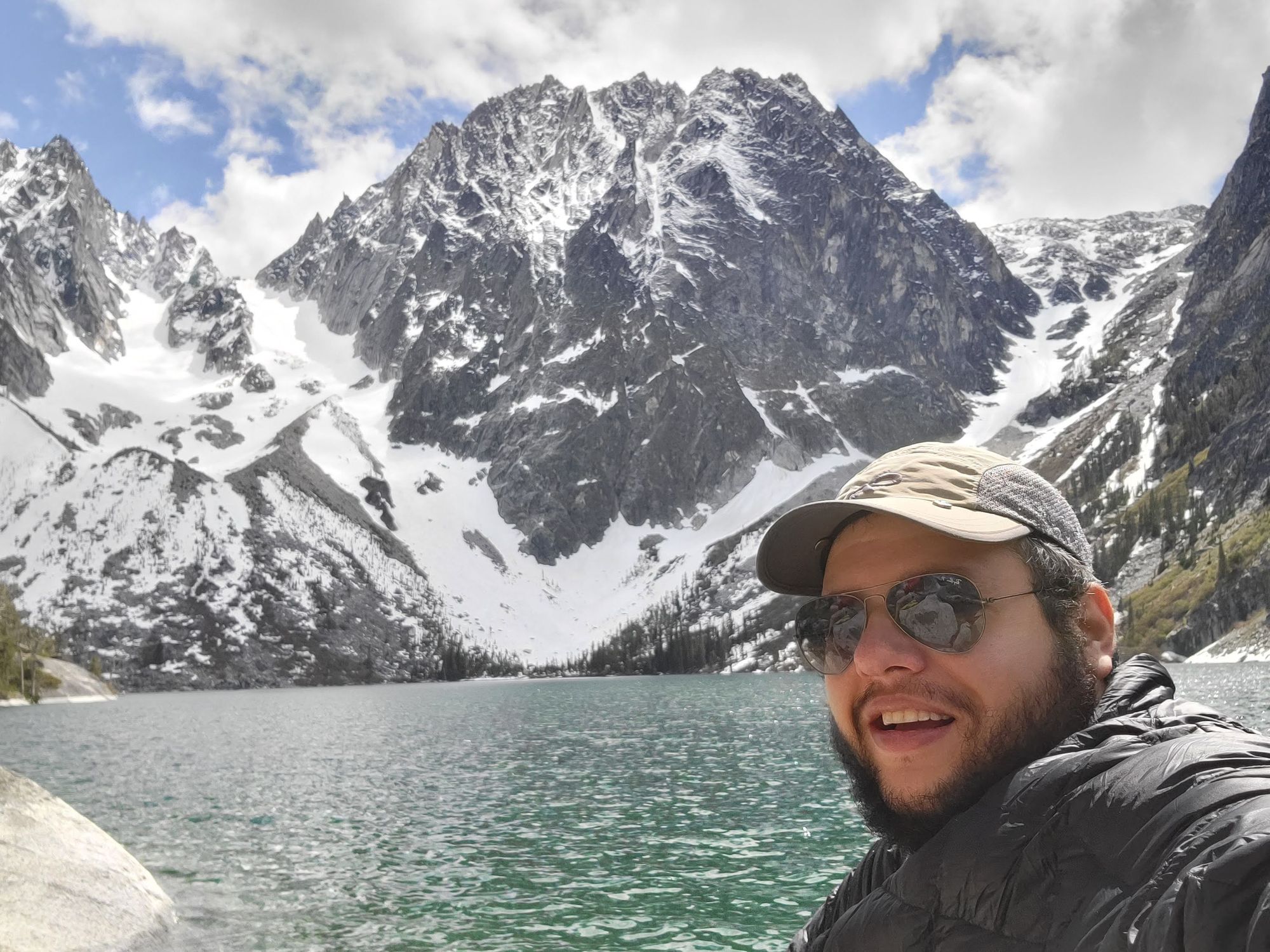
Uphill walking some more, and reaching another flat rocky area, you could see some small patches of snow where the sun didn't hit at any time during the day. Five minutes or so after entering this flat, we saw Colchuck Lake.
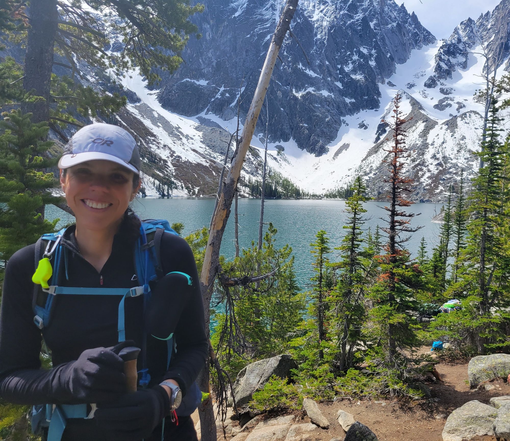
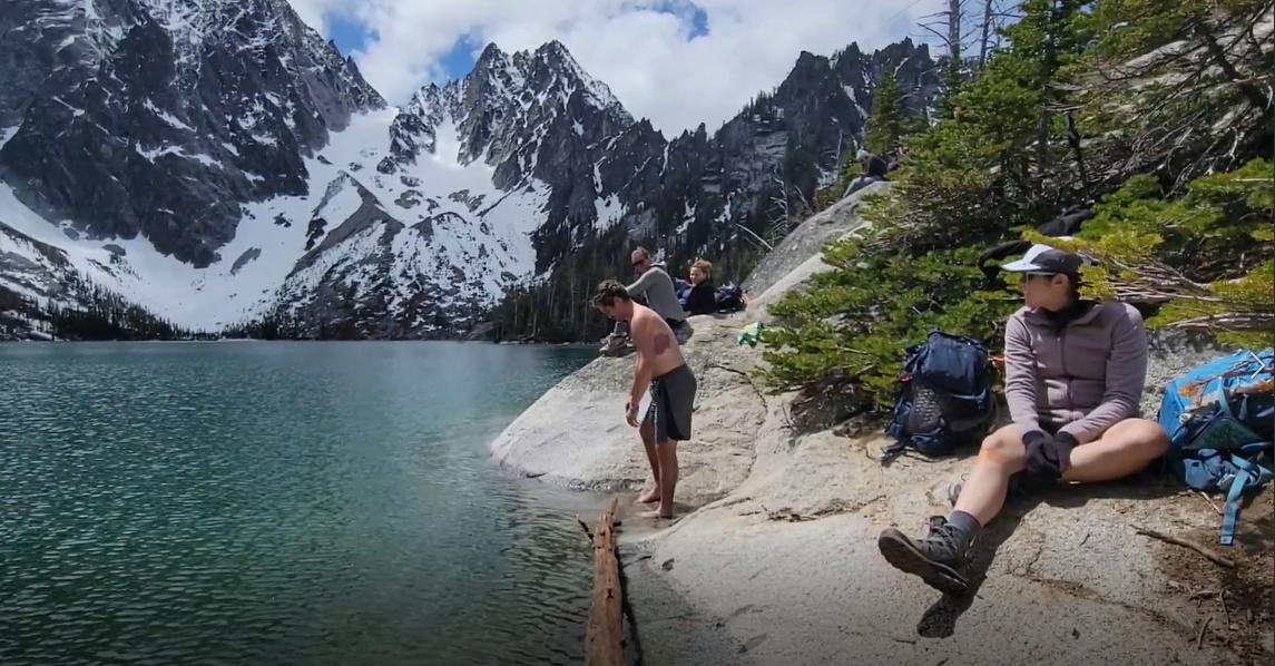
We went to the shore and grabbed some nice sitting spots to have lunch and our beers. The sun was warm, but the air was cold so it made for a nice long stop where I removed my shirt and had it dry while wearing my puffy.
This guy came out of nowhere with a great resolve to jump into this freezing cold lake. Turns out he's a student along with me on the scrambling course! I recorded proof of his bravery so he could show of to nay-sayers.
On the snow chute to the right, (Dragontail Peak in the center) there's Colchuck glacier. We saw a skier go down and a couple of climbers go up, and we saw an avalanche there! We heard no noise at all, and we could see it was a D2 wet-loose one. It seemed as if nobody got caught in it. On the way out we encountered the skier that was below the avalanche runout and he seemed in high spirits, so I'm positive nobody got caught.
We decided to visit Stuart Lake, so we headed towards the privy before leaving. We saw a mountain goat there!
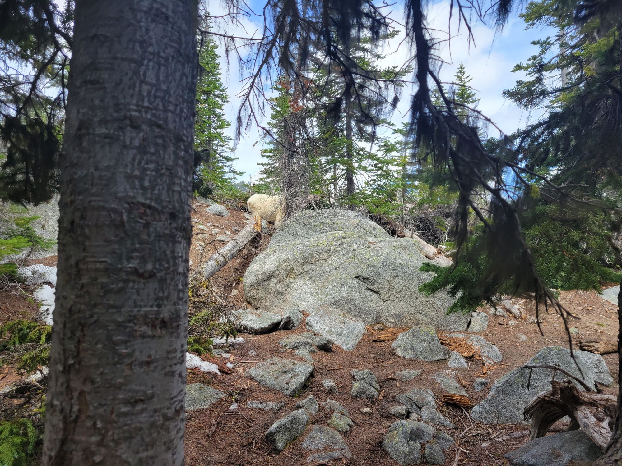
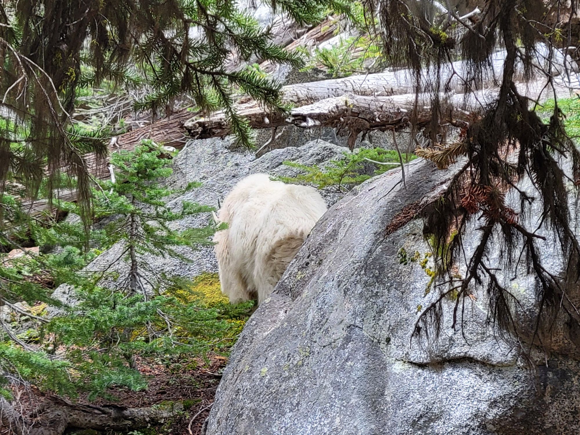
I tried to take a picture from a better angle, but I saw it stare back at me with this very pissed off face. I decided to leave some more space to this adorable fluffy car-sized killing machine. Off I go to pee on a rock away from it, and I wasn't even done by the time the goat came eager to claim the salty prize I was just leaving. Have you ever pee'd in a rush as a mountain goat approaches you with hunger in its eyes? Well, I have...
Going into Stuart was mostly a mistake. We saw a couple interesting things, but the lake looks very sad and poor compared to Colchuck. The drive and hike is not worth it for Stuart only.
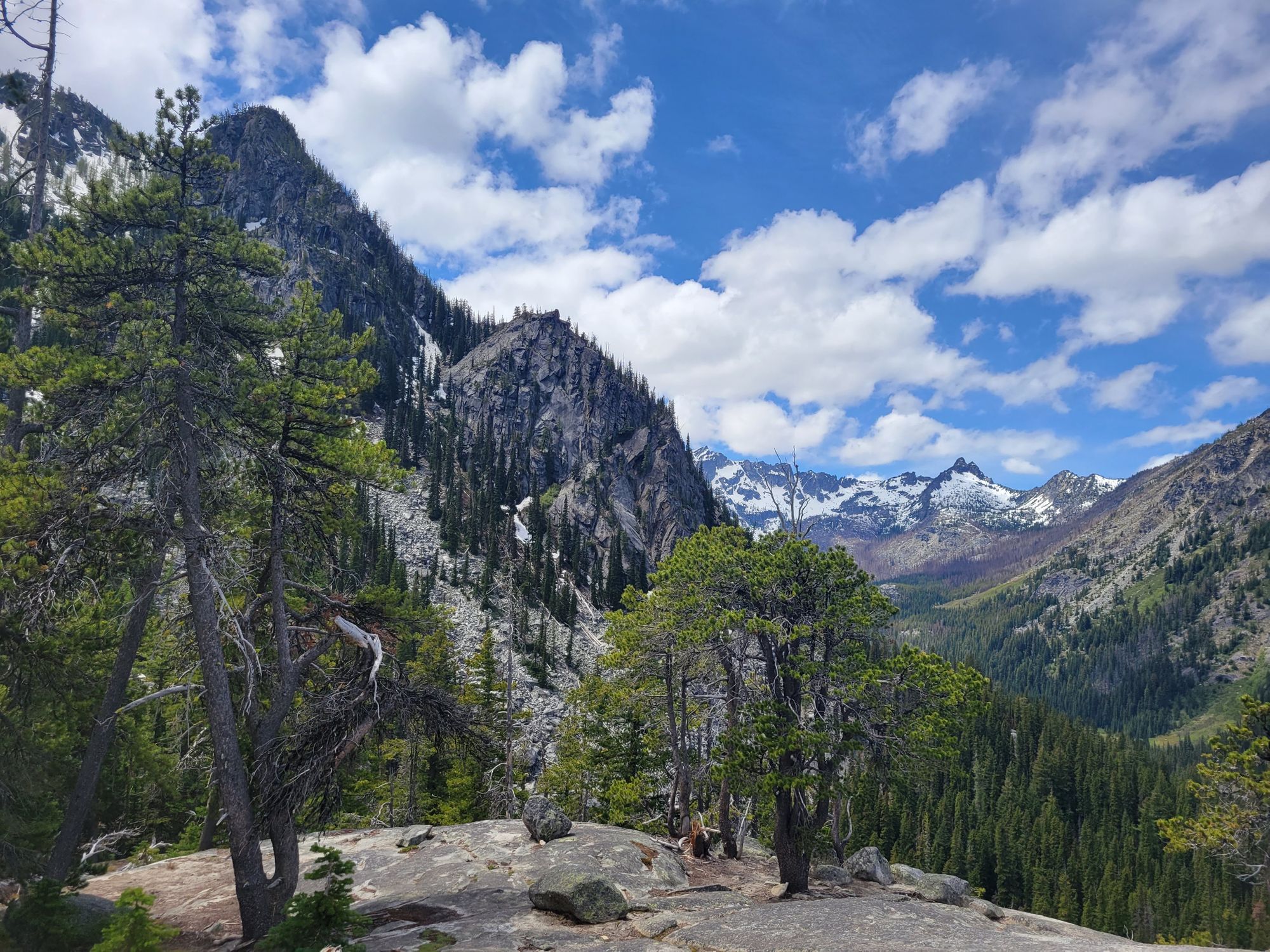
The cool thing about that trail is that it runs along a ridge with plenty avalanche chutes. You can see the chaos some avalanches left on this last season.
There were some chutes where the avalanches broke big old trees, and it smelled very Christmas-like. Probably a new avalanche came and buried the debris so it preserved the smell until spring's melt.
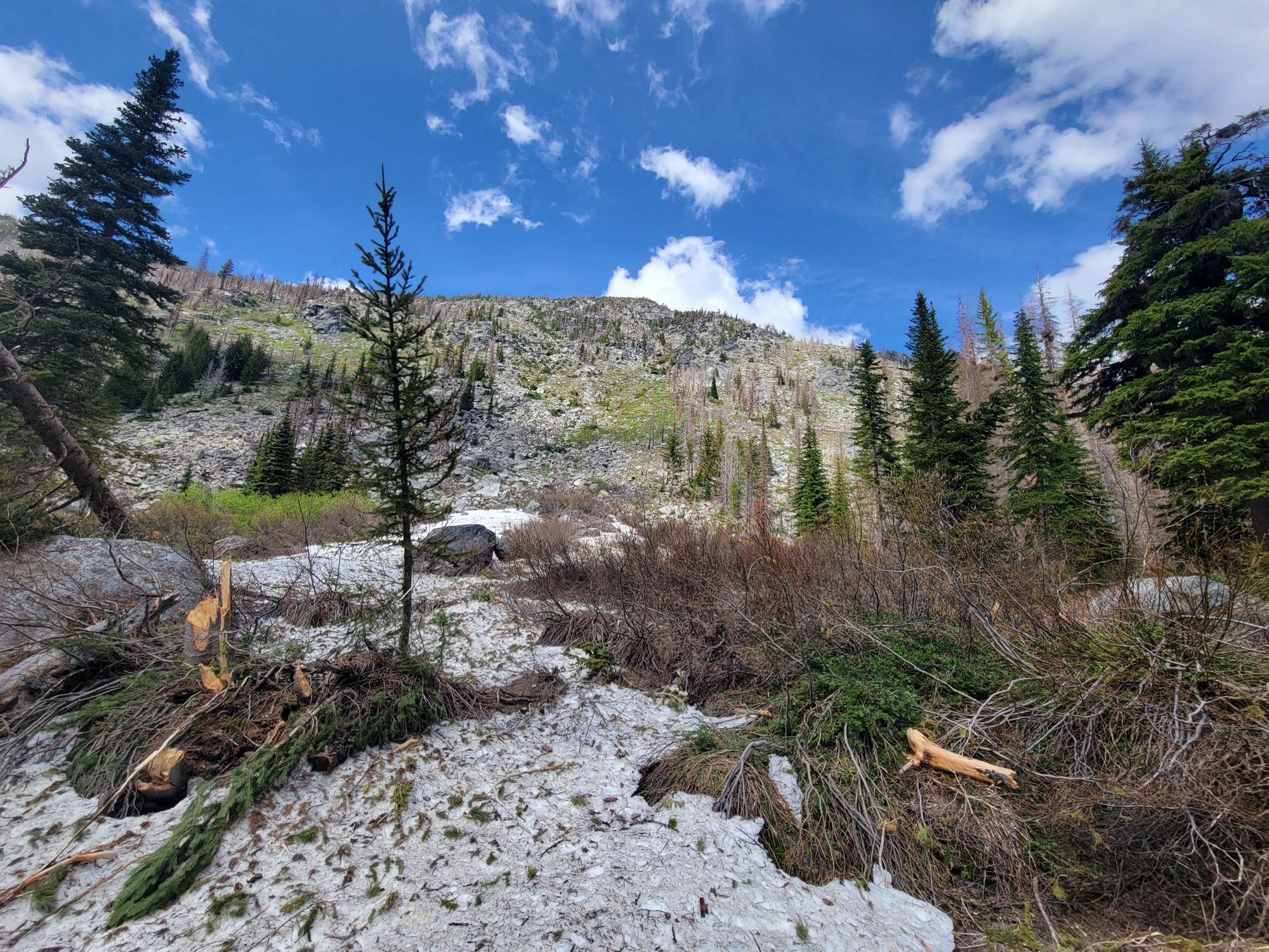
Around 5000' you get to a snowfield that was a pain to walk on. It's a post-holing party with shaded, icy and slippery snow. We lost the trail on the way out along with another group. It's not hard to navigate as big peaks work as guiding points, but it can become hard on foggy conditions. It's also not as simple as knowing the direction you're heading, as you also have to negotiate broken timber and a bunch of debris in that section.
On the way out mosquitoes were pretty bad. Meadows make a happy home for these blood-sucking annoyances.
The last 2 miles out were actually hard on us. We were tired and my feet were achy. I had to stretch as my calves felt like they could cramp.
On our way out I stopped to take a video of the last bridge and you can hear her rushing us out! I wonder if she was tired and eager to get to the car or just annoyed as we were hiking too slow for her :)
We made it to the car thankful to rest, went home, had showers and food and woke up the next morning to run 6 miles again with Nataliya. I'm definitely feeling the pain in my legs now :(